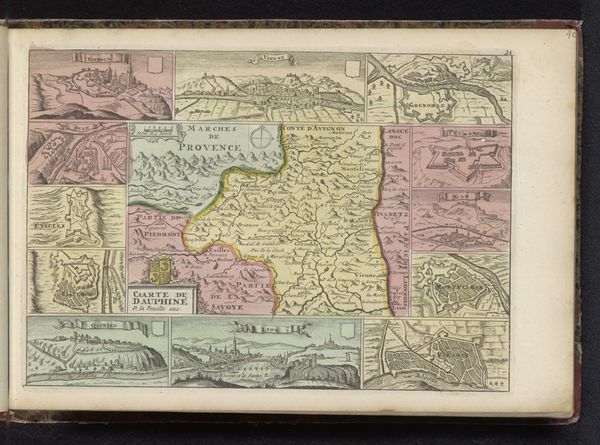
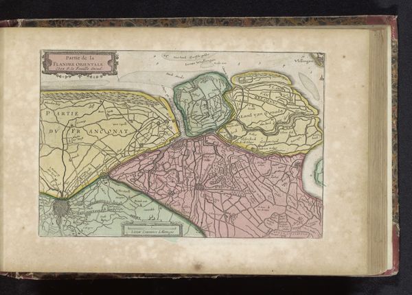
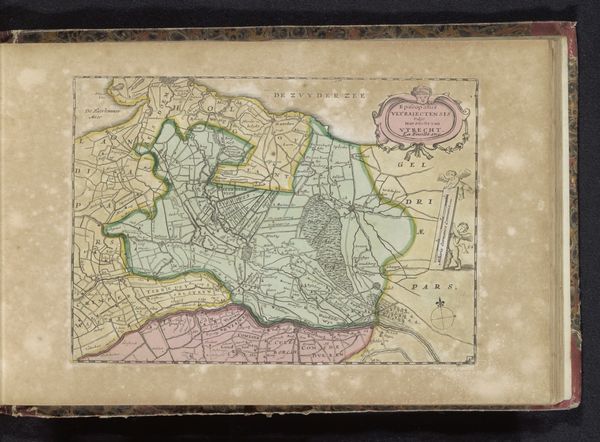
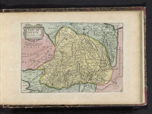
drawing, print, ink, engraving
#
drawing
#
baroque
# print
#
landscape
#
ink
#
engraving
Dimensions: height 158 mm, width 232 mm
Copyright: Rijks Museum: Open Domain
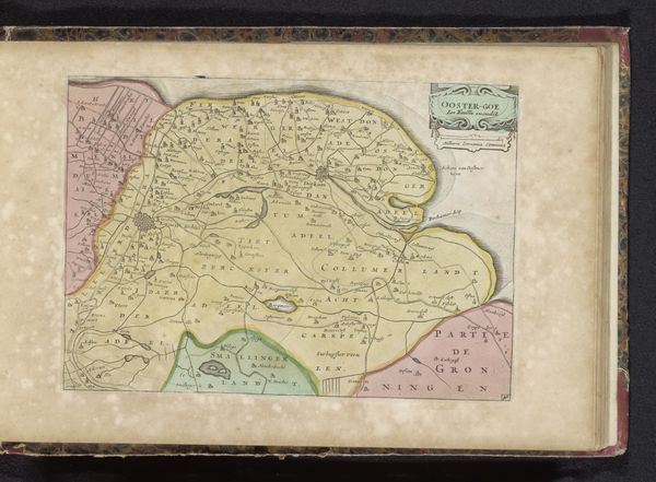
This is an anonymous map of the Baronie of Breda, made with engraving, etching and watercolour. It is not dated but the coloring suggests it could have been made around 1650. As a means of asserting political and economic control, maps have been used in Europe since the late Middle Ages. With the rise of cartography as a science, they became a tool for understanding and transforming landscapes. This map visualizes land as property, and it gives its owner a sense of spatial awareness. The use of color in this map may denote ownership or land use. The map's small size also speaks to its use as a personal object. Such maps provide valuable historical information to those who can interpret them. Analysis of maps like these can reveal a great deal about the economic, social, and political life of early modern Europe. By researching archives and collections, we can know how to read these historical documents and understand the world of the past.
Comments
No comments
Be the first to comment and join the conversation on the ultimate creative platform.
More like this