painting, print, paper, engraving
#
baroque
#
painting
# print
#
paper
#
geometric
#
cityscape
#
history-painting
#
decorative-art
#
engraving
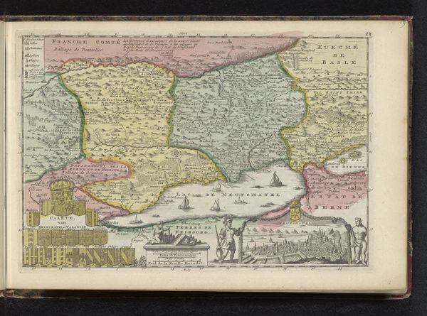
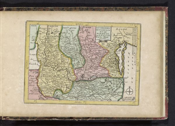
Dimensions: height 180 mm, width 265 mm
Copyright: Rijks Museum: Open Domain
This hand-colored map of Piemonte, created by an anonymous artist, offers a glimpse into the geographical and political landscapes of its time. These maps played a crucial role in shaping identities and power dynamics. Note the deliberate inclusion of fortified cities and strategic locations, underscoring the importance of military control and territorial claims. Consider that for those living in or near the region, the map might have served as a tool for understanding their place in a world increasingly defined by borders. For others, it perhaps fueled colonial ambitions. Furthermore, the map's aesthetic qualities – the delicate coloring and ornate details – speak to the cultural values and artistic conventions prevalent at the time. They acted as statements of cultural pride. Ultimately, the map offers insights into how people perceived and interacted with their world, inviting us to reflect on our own relationship to space, place, and power.
Comments
No comments
Be the first to comment and join the conversation on the ultimate creative platform.
More like this