graphic-art, mixed-media, print, engraving
#
graphic-art
#
mixed-media
#
baroque
# print
#
cityscape
#
history-painting
#
engraving
Dimensions: height 180 mm, width 244 mm
Copyright: Rijks Museum: Open Domain
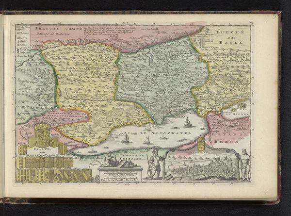
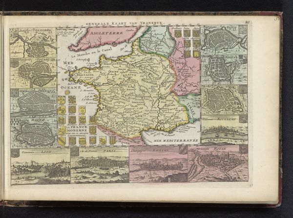
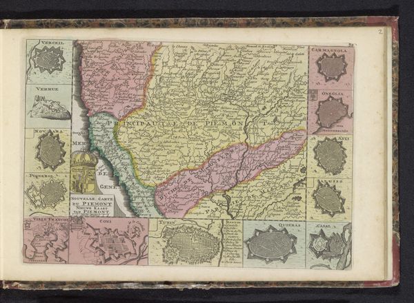
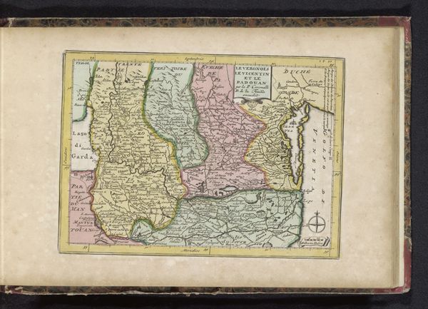
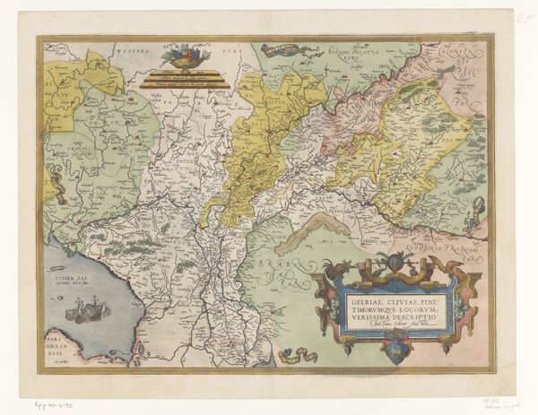
This is an anonymous map of Languedoc, a region in the South of France, made with ink and watercolour on paper. It shows us how the institutions of state power were manifested geographically. Made at a time of intense European conflict, the map highlights key cities and physical features, but also prioritizes military fortifications. Vignettes around the central map showcase individual fortified towns, emphasizing the region's strategic importance. The level of detail suggests that this map was likely commissioned by a government entity to facilitate military planning and resource management. This map reflects a moment in which geographical knowledge was power. It served the interests of the state, enabling it to exert control over territory and population. By studying such historical documents, we can better understand the complex relationship between knowledge, power, and the social conditions that shape our world. Further research into military archives and cartographic history could shed more light on the map’s original purpose and reception.
Comments
No comments
Be the first to comment and join the conversation on the ultimate creative platform.
More like this