drawing, print, paper, ink
#
drawing
#
dutch-golden-age
# print
#
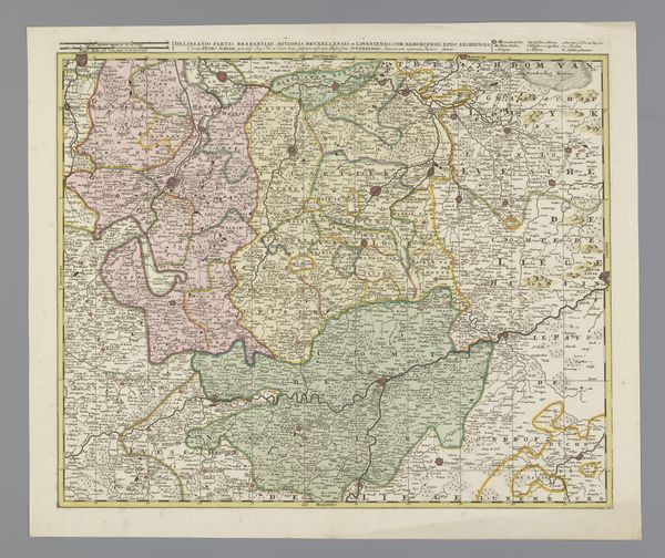
landscape
#
paper
#
ink
#
coloured pencil
#
cityscape
Dimensions: height 160 mm, width 225 mm
Copyright: Rijks Museum: Open Domain
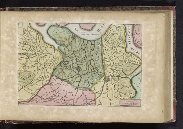
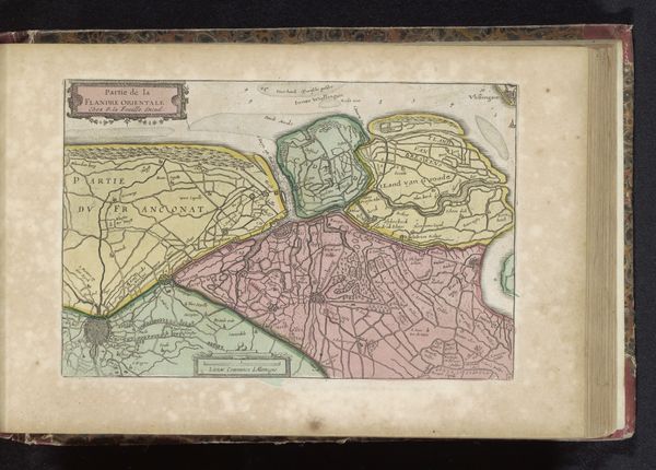
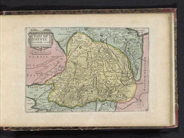
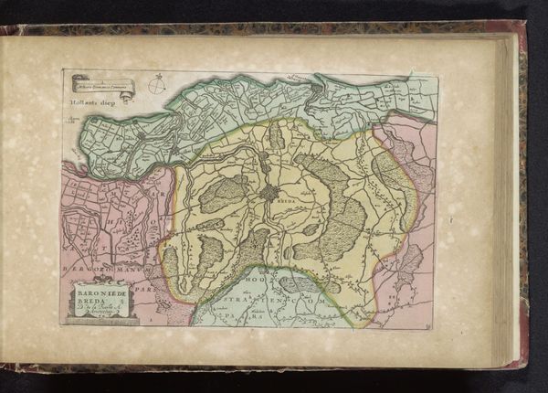
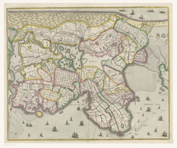
Curator: Here we have an interesting print referred to as "Kaart van Utrecht," dating from sometime between 1700 and 1735. Its creator remains anonymous, and it combines ink and possibly colored pencil on paper. What are your immediate thoughts? Editor: There's a strange calmness to this, a precision. The landscape is carefully divided, neat compartments of land, almost like a promise of order imposed on nature. It feels very… colonial, somehow. Curator: Colonial in what way? Editor: In the way it flattens a space, reduces it to borders and divisions. The symbolic act of drawing a line on a map has a weight to it. Curator: Maps were certainly powerful tools, yes. But also vital records and aids to understanding the landscape itself, and trade. And I'm immediately struck by how symbolic the color is – the greens denote prosperity, promise; I can't help but associate the blues, of course, with trustworthiness and even faith. What do you read in the lines themselves? Editor: I'm interested in how they both include and exclude. Each boundary dictates who is within and who is outside. Think of the resources, power dynamics, and even identities attached to these spaces. And who determined those boundaries? I'm curious about the social structures reflected within these neat parcels. Curator: The question of whose perspective is represented is valid, isn't it? This map speaks to the rise of the Dutch Golden Age, where cartography held prestige and served vital roles in trade and defense. Note, if you will, the scale decorations by what appear to be tiny cherubic figures - the past and present, divinity and knowledge - made inseparable by the human hand. Editor: Exactly. We can't ignore the fact that mapmaking isn't neutral. Curator: Of course. No image truly is, is it? And in viewing an artifact such as this, one cannot excise oneself from the historical weight each evokes. Still, looking at the rivers and land divisions here, it grants one a vivid image of the region that speaks across time, I'd say. Editor: True, perhaps viewing it through a more theoretical and engaged contemporary lens illuminates its many complex layers. Curator: I think it opens it to necessary dialogue. Editor: Agreed, bringing those threads to light certainly complicates the simplicity.
Comments
No comments
Be the first to comment and join the conversation on the ultimate creative platform.
More like this