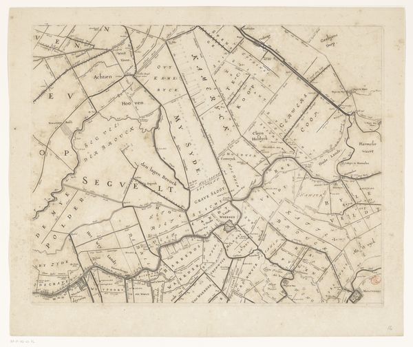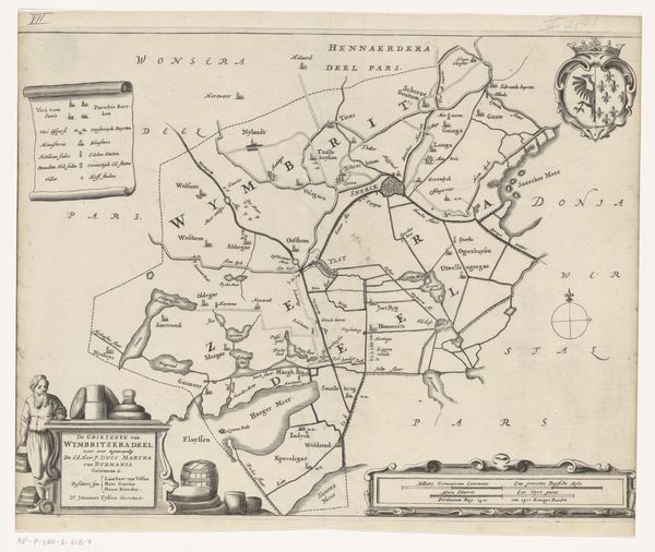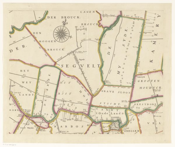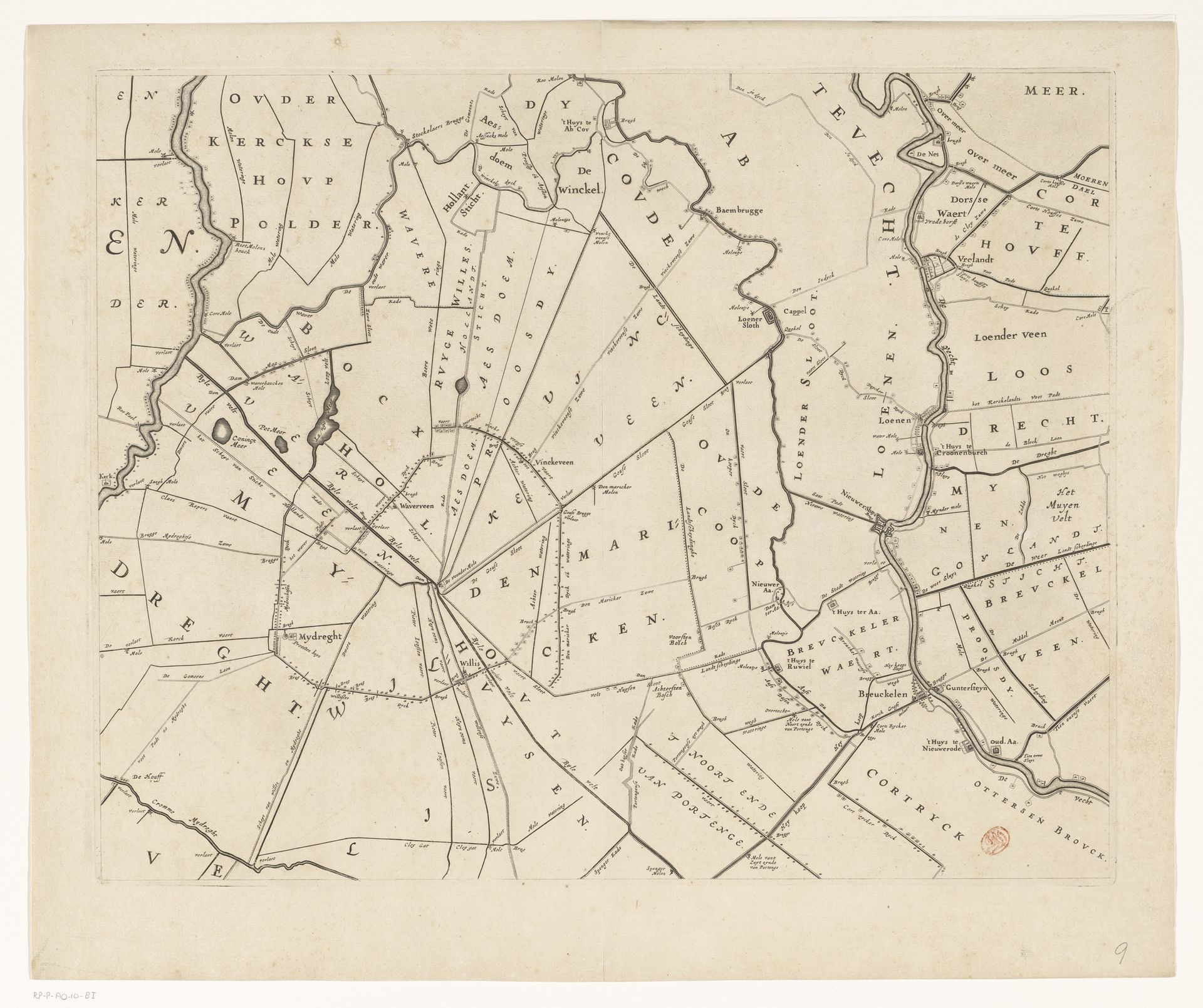
1647 - 1687
Kaart van het Hoogheemraadschap van Rijnland (negende deel)
Cornelis (I) Danckerts
1604 - 1656Location
RijksmuseumListen to curator's interpretation
Curatorial notes
This map, made in the Netherlands by Cornelis Danckerts around the mid-17th century, is not just a visual representation, but a testament to the labor involved in shaping the Dutch landscape. Created through engraving, a process of incising lines into a metal plate, the map intricately details the region of Rijnland. The engraver’s skill is evident in the precise lines and lettering, reflecting the importance of accuracy in land management. The very act of mapping was a form of asserting control over the land, reflecting a society deeply engaged in transforming its environment through canals, dikes, and polders. This wasn't just about geography; it was about managing resources, enabling trade, and shaping social structures. Look closely, and you can almost hear the sounds of labor, the movement of earth, and the economic activity that this map represents. By appreciating the techniques and the social context in which it was made, we gain a deeper understanding of its meaning and cultural value, challenging the boundaries of traditional art history.