About this artwork
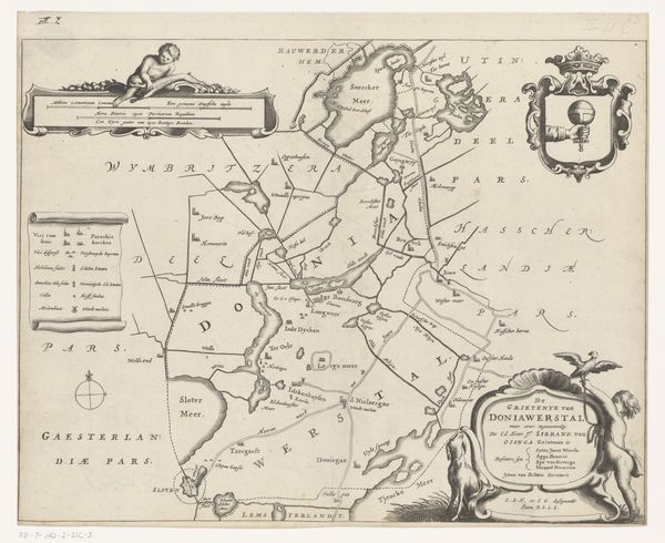
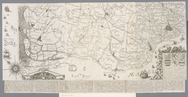
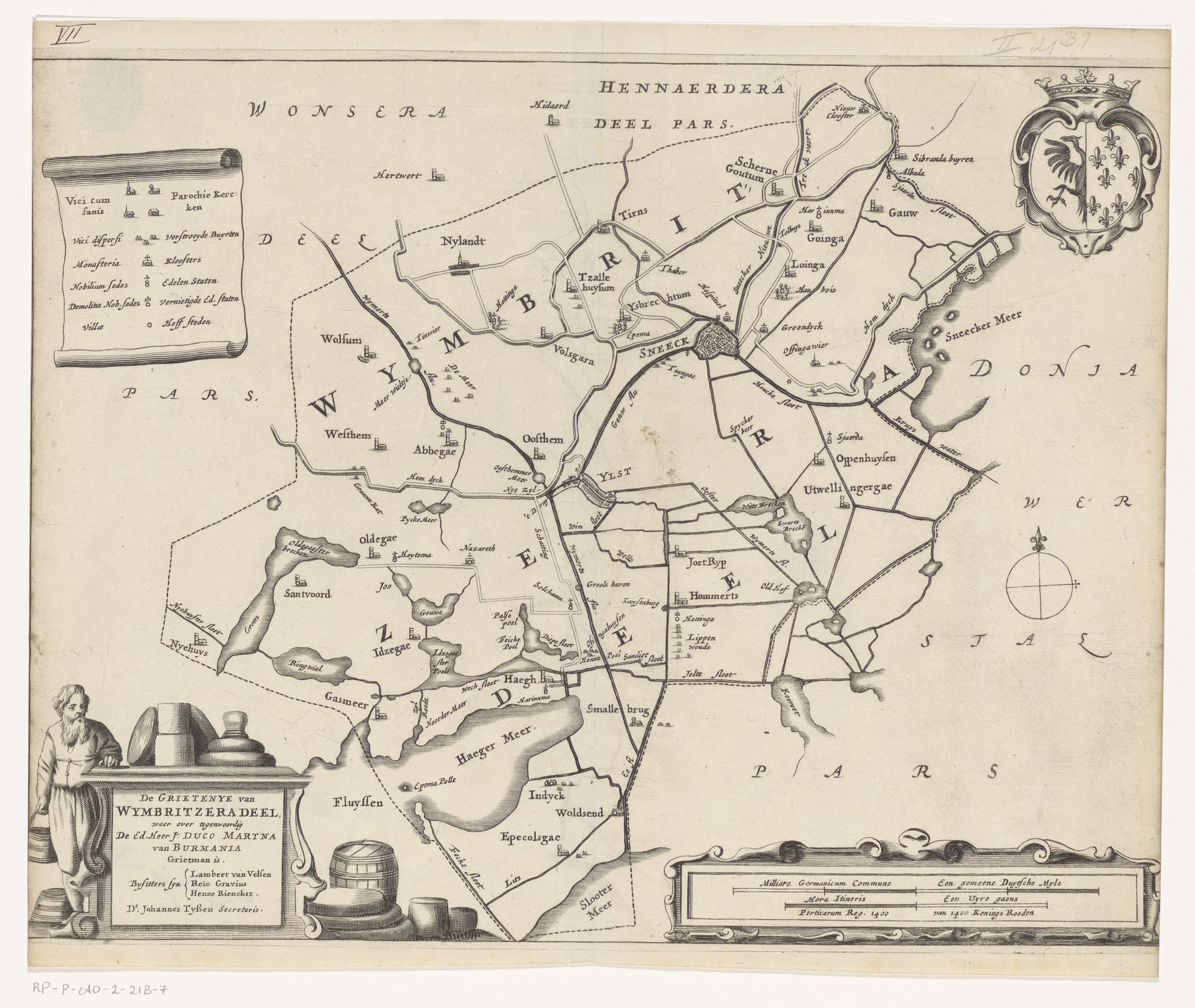
This map of Wymbritseradeel, created around 1620-1680 by Jacob van Meurs, is full of symbols beyond mere geography. Notice the coat of arms in the upper right. Heraldry, as a symbolic language, carries echoes of lineage, power, and identity. A similar eagle appears on Roman coins, a symbol of imperial authority, and resurfaces in various forms throughout medieval Europe, adapting to represent different dynasties and territories. This symbolic continuity reveals how images transcend time, connecting past empires to the present. Observe how the compass rose in the lower right is not merely functional; it's a microcosm of human orientation. It is reminiscent of ancient cosmological diagrams, marking a symbolic quest for direction, both physical and existential. This symbol connects us to primal instincts of orientation, a collective desire to find our place in the world, a subconscious reminder of our journey through time.
Artwork details
- Medium
- drawing, print, etching, ink
- Dimensions
- height 289 mm, width 365 mm
- Location
- Rijksmuseum
- Copyright
- Rijks Museum: Open Domain
Tags
Comments
Share your thoughts
About this artwork
This map of Wymbritseradeel, created around 1620-1680 by Jacob van Meurs, is full of symbols beyond mere geography. Notice the coat of arms in the upper right. Heraldry, as a symbolic language, carries echoes of lineage, power, and identity. A similar eagle appears on Roman coins, a symbol of imperial authority, and resurfaces in various forms throughout medieval Europe, adapting to represent different dynasties and territories. This symbolic continuity reveals how images transcend time, connecting past empires to the present. Observe how the compass rose in the lower right is not merely functional; it's a microcosm of human orientation. It is reminiscent of ancient cosmological diagrams, marking a symbolic quest for direction, both physical and existential. This symbol connects us to primal instincts of orientation, a collective desire to find our place in the world, a subconscious reminder of our journey through time.
Comments
Share your thoughts