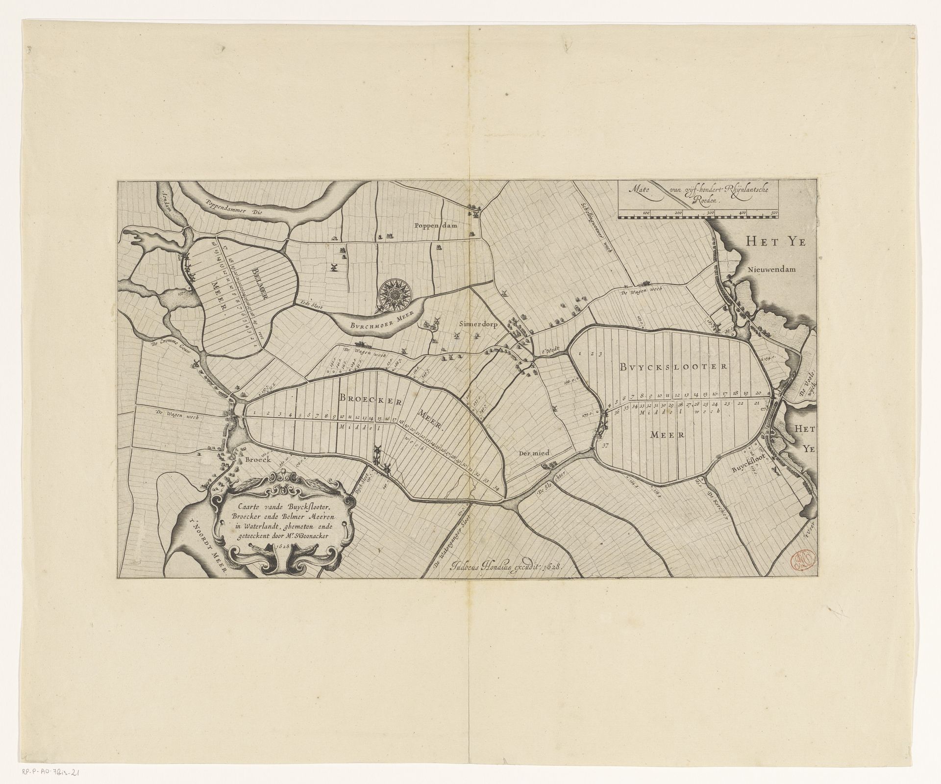
1628
Kaart van de Buiksloter-, Broeker- en Bijlmermeerpolder
Listen to curator's interpretation
Curatorial notes
This is an anonymous map of the Buiksloter-, Broeker- en Bijlmermeerpolder. It's a symbolic representation of land and water, made with ink. The map depicts polder landscapes, symbolizing order and control over nature. Notice the compass rose; this ancient symbol extends far beyond mere geographic orientation. It's an echo of humanity's eternal quest for direction and understanding. From ancient mariners charting unknown seas to philosophers seeking moral truths, the compass guides us. Think of the rose windows in Gothic cathedrals, transforming light into divine knowledge, or the Buddhist dharma wheel, representing the path to enlightenment. The emotional weight of such symbols resonates through time. The compass is not just a tool; it is a symbol of orientation in a world often perceived as chaotic. This constant cyclical progression of symbols reminds us that humanity's dialogue with its world is a continuous process.