drawing, graphic-art, print, etching, engraving
#
drawing
#
graphic-art
# print
#
etching
#
landscape
#
etching
#
engraving
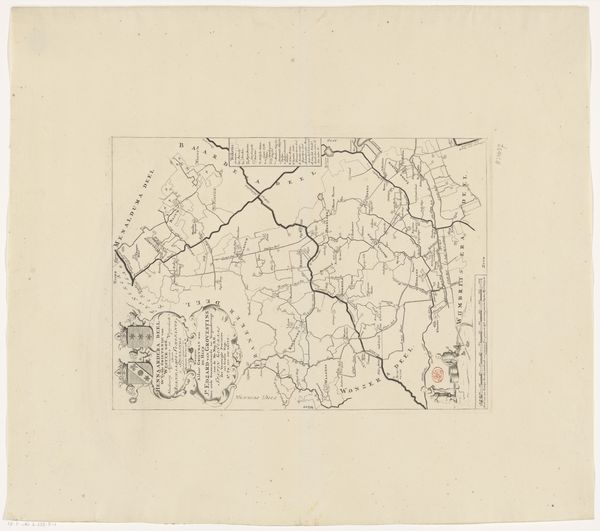
Dimensions: height 416 mm, width 369 mm
Copyright: Rijks Museum: Open Domain
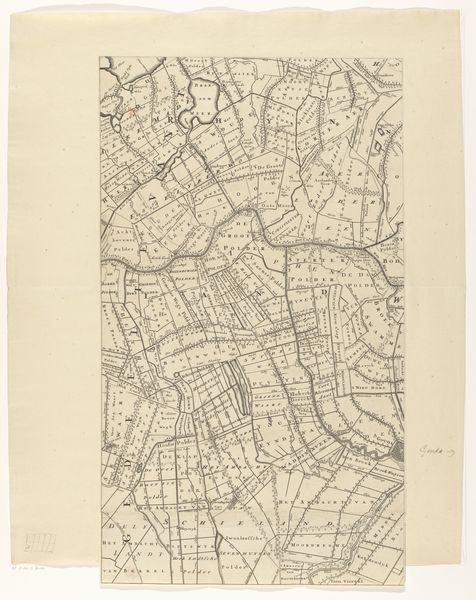
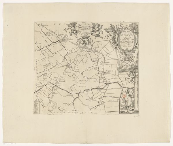
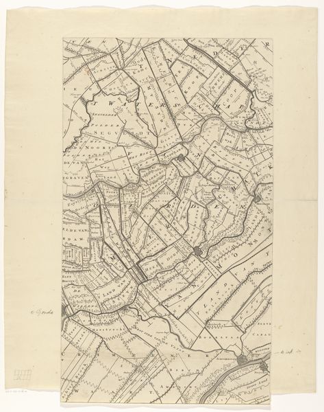
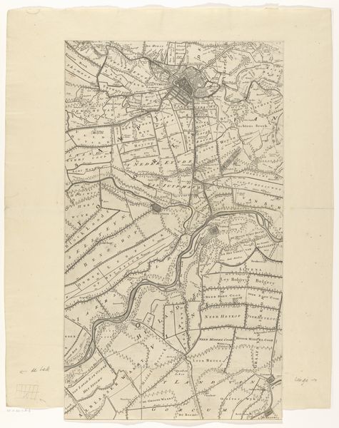
This is an uncredited map of Baarderadeel. Maps have always been political, reflecting who has the power to define and represent space. Consider how the map presents a specific perspective, prioritizing certain information and possibly omitting others. Who benefits from this representation, and whose stories or experiences might be marginalized? How does the act of mapping contribute to the construction of identity, both for individuals and communities? Historically, land ownership and control have been closely tied to power dynamics, influencing everything from economic systems to social hierarchies. Reflect on the ways in which access to and control over land have shaped the experiences of different groups throughout history, particularly marginalized communities. How do these historical power dynamics continue to shape our present-day realities, and what role can art play in challenging or reimagining them?
Comments
No comments
Be the first to comment and join the conversation on the ultimate creative platform.
More like this