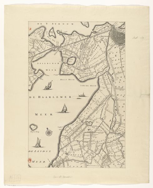
print, etching, engraving
#
dutch-golden-age
# print
#
etching
#
landscape
#
etching
#
geometric
#
engraving
Dimensions: height 452 mm, width 386 mm
Copyright: Rijks Museum: Open Domain
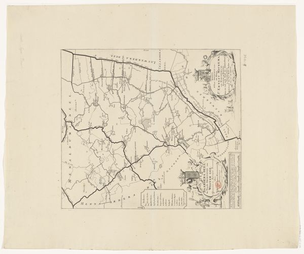
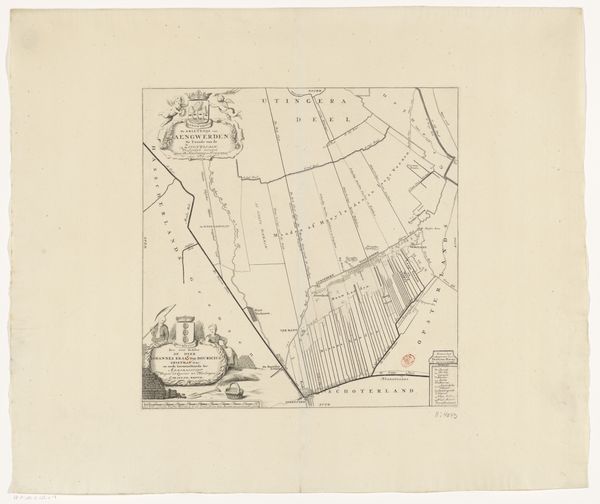
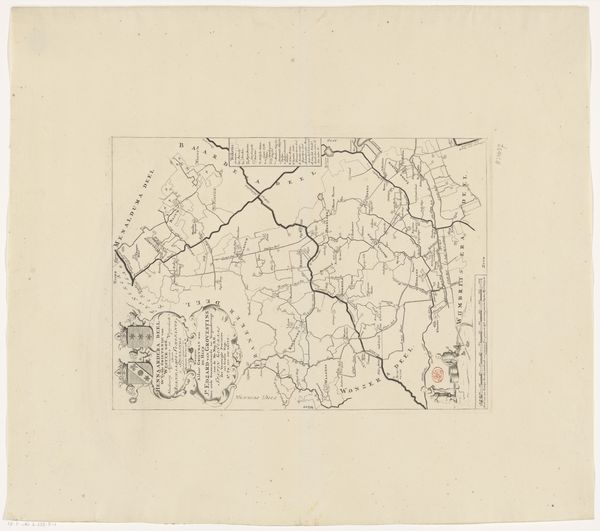
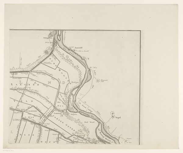
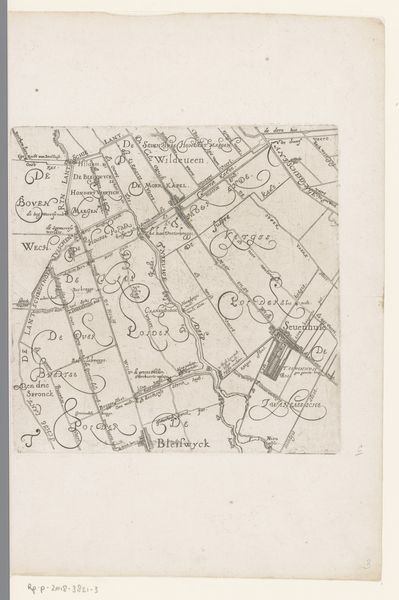
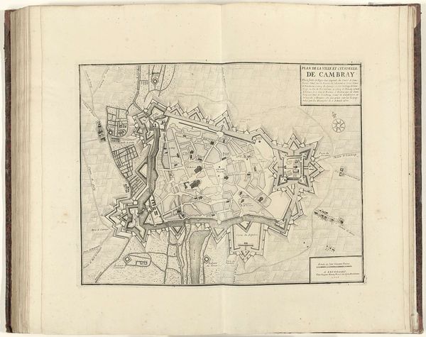
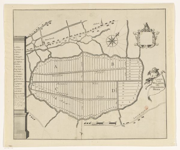
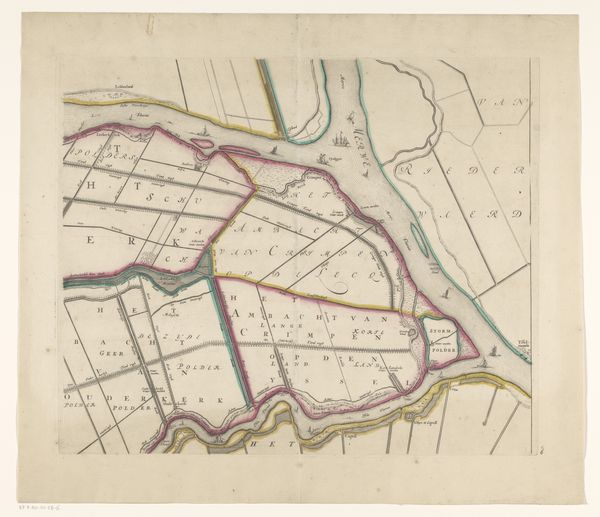
This is an undated map of Haskerland, made anonymously, using ink on paper. The most striking aspect is the way the lines and shapes come together. Roads and waterways are reduced to geometric signs, abstracting physical reality into a composition of forms. Look at how the composition balances decorative elements. The ornate cartouche at the upper left, with its crown and swirling calligraphy, is mirrored by a more austere classical column on the right. This interplay between decoration and stark geometry isn’t just about aesthetics. It reflects a broader tension between representing the world accurately, and imposing an ordered, symbolic structure onto it. Consider the act of mapping itself. It’s a semiotic project, a way of translating space into a system of signs. Each line, each label, is a code that invites interpretation. The map is never neutral; it challenges us to question how it shapes our understanding and reinterprets the land itself.
Comments
No comments
Be the first to comment and join the conversation on the ultimate creative platform.
