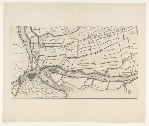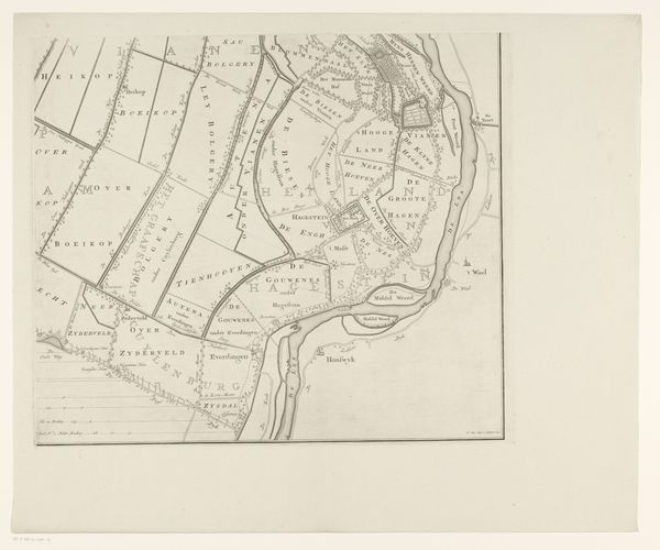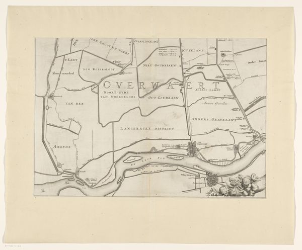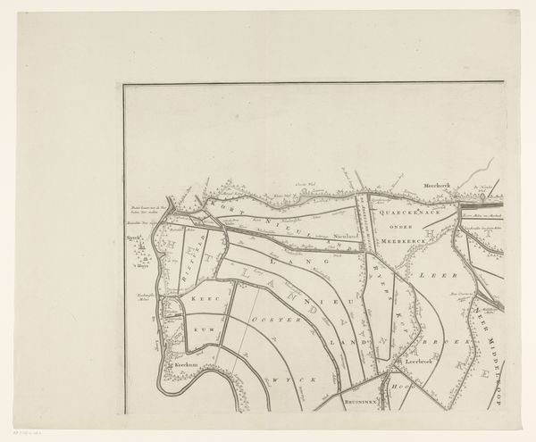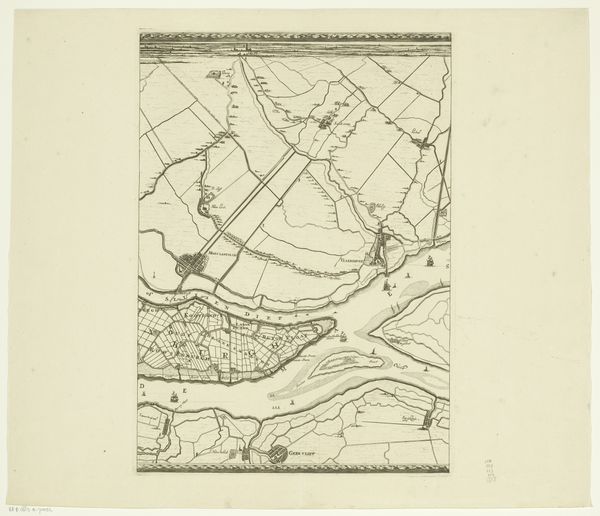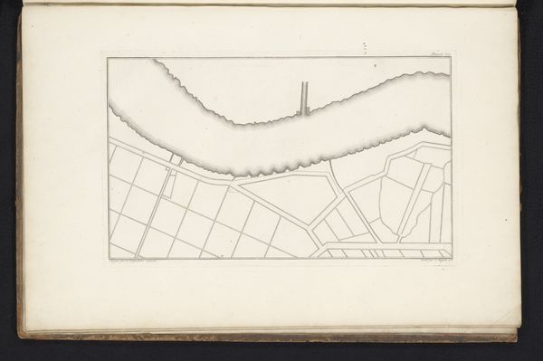
1741 - 1787
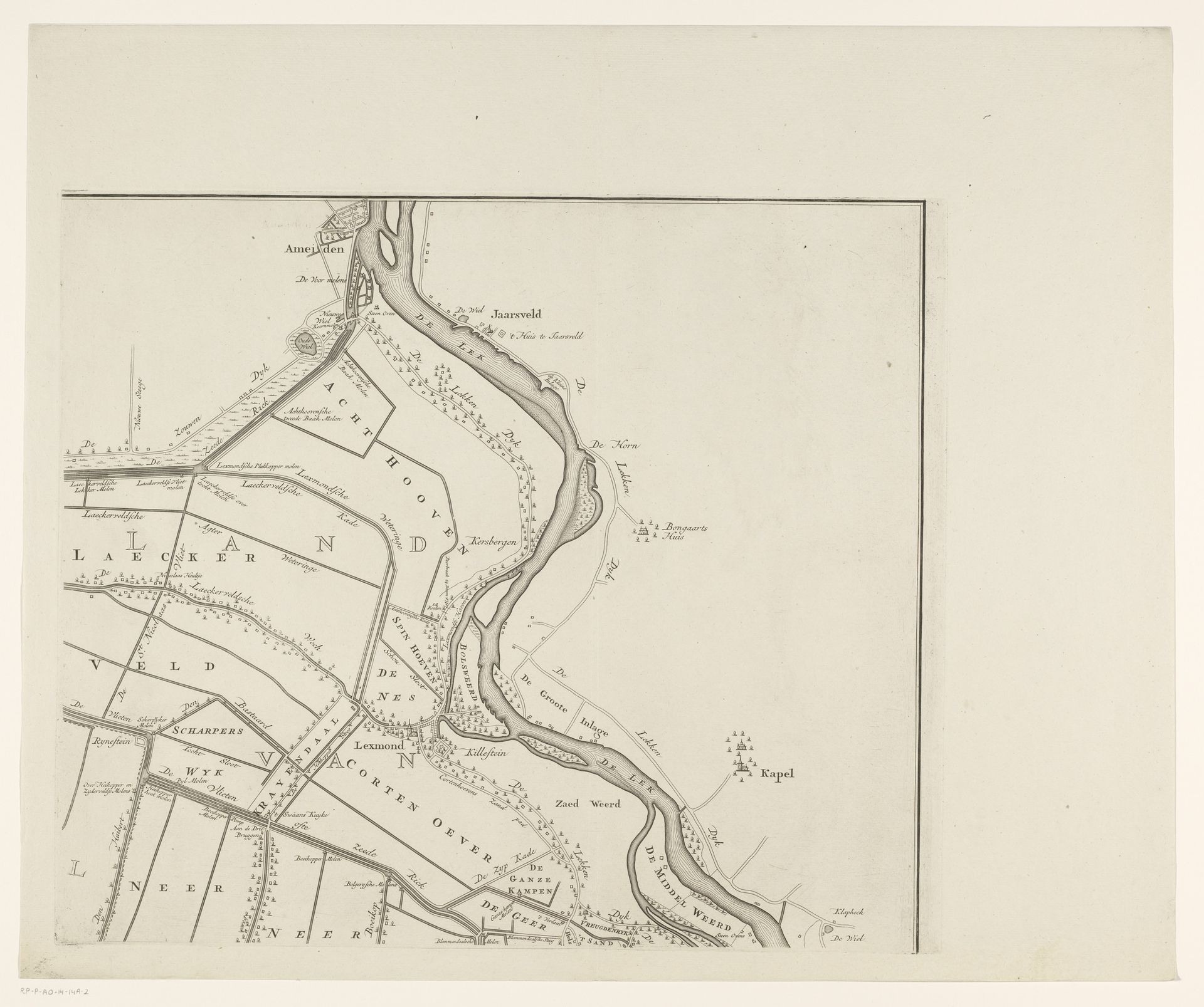
Kaart van de Vijfheerenlanden (deel rechtsboven)
Listen to curator's interpretation
Curatorial notes
Jan van Jagen made this map of Vijfheerenlanden, a region in the Netherlands, using an engraving technique sometime in the 18th century. Looking at this map, we see the human impulse to tame nature, dividing up the land for agriculture. This was a period when the Dutch Republic was a major economic power, fueled by trade and innovation. The precision of the map reflects the Dutch emphasis on order, control and rationality, values that were also prominent in the art and science of the time. Maps were not just neutral tools, but assertions of power. The act of mapping was a way of claiming ownership and control over the land and its resources. To truly understand its significance, we must study the complex economic, social, and political forces that shaped its creation. The study of such documents involves archival research to uncover the context that is embedded in the very act of mapping.