drawing, print, etching, paper
#
drawing
# print
#
etching
#
landscape
#
etching
#
paper
#
geometric
Dimensions: height 370 mm, width 540 mm
Copyright: Rijks Museum: Open Domain
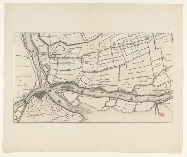
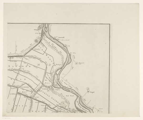
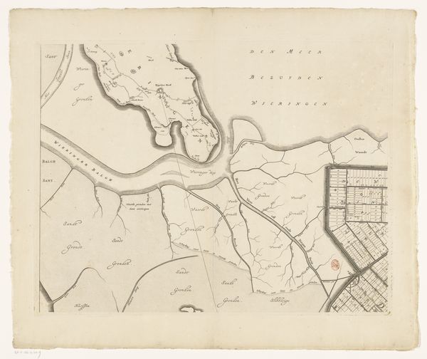
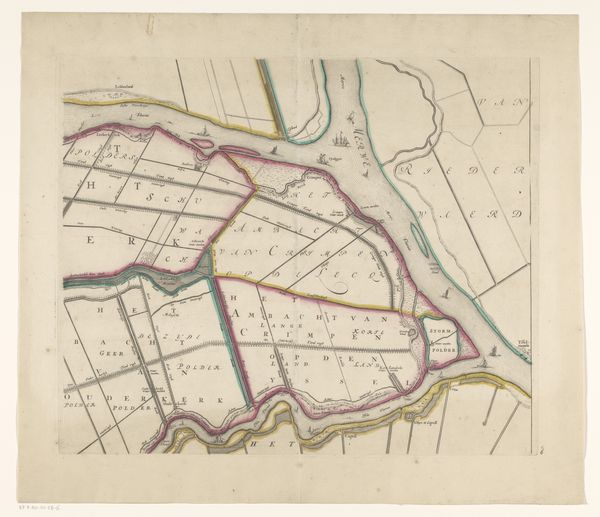
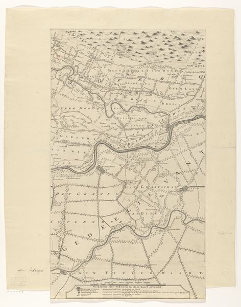
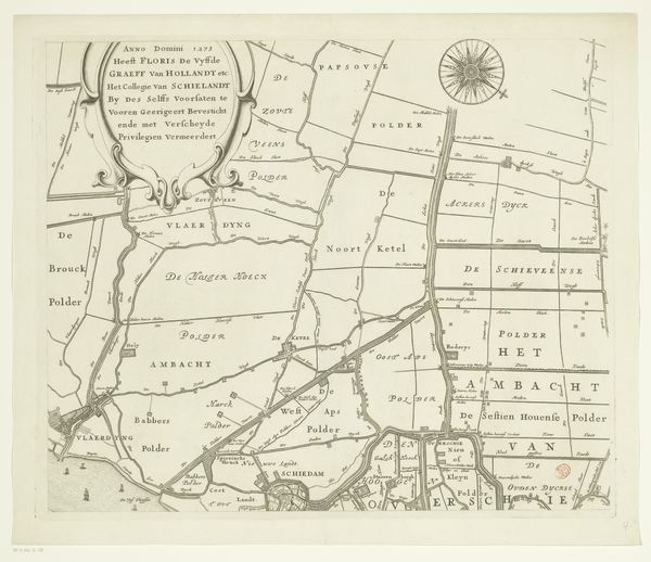
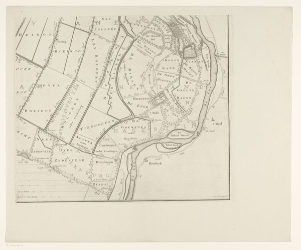
This is a section of a map of Overwaard, made by Jan van Vianen, sometime between 1660 and 1726. Cartography was a particularly important genre in the Netherlands during this period. As a major maritime power, the Dutch needed detailed and accurate maps for navigation and trade. But maps like this one were also vital for local administration, land management, and military planning. Notice how the map emphasizes waterways, boundaries, and districts. The detailed rendering of the landscape speaks to the Dutch Republic’s sophisticated understanding of its own territory. It’s a vision of a carefully organized and managed space. To understand this map fully, we'd need to consult historical records of land use, population distribution, and administrative divisions. This map encapsulates the social and economic structures of the Dutch Republic, reflecting its concern with order, control, and the effective exploitation of resources.
Comments
No comments
Be the first to comment and join the conversation on the ultimate creative platform.
More like this