drawing, print, paper, pen, engraving
#
drawing
#
dutch-golden-age
# print
#
pen sketch
#
old engraving style
#
landscape
#
paper
#
pen
#
engraving
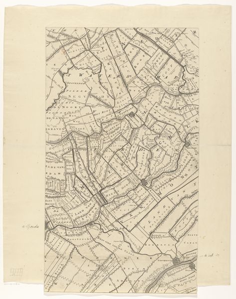
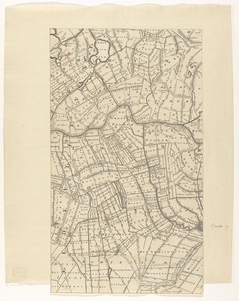
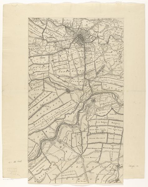
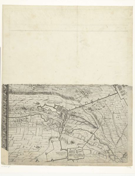
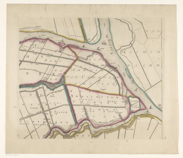
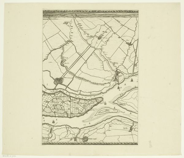
Dimensions: height 647 mm, width 375 mm
Copyright: Rijks Museum: Open Domain
This is Thomas Doesburgh’s “Kaart van de provincie Utrecht (vierde deel van onder)”, a historical map of the province of Utrecht, now held at the Rijksmuseum. This map offers us a glimpse into the intricate relationship between power, land, and identity during the period it was made. Maps like these weren't just tools for navigation; they were instruments of control. The detailed demarcation of territories reflects the socio-political structures of the time, revealing how land ownership and administrative divisions shaped the lives of the people who lived there. Consider how such maps affected those who were included—or excluded. For marginalized communities, these maps could have been symbols of oppression. How might it have felt to see your home represented in a way that prioritized the interests of the ruling class? While seemingly neutral, the act of mapping is always a subjective process. These maps leave us wondering about the stories of the people whose lives were directly impacted by these representations of space.
Comments
No comments
Be the first to comment and join the conversation on the ultimate creative platform.
More like this