Dimensions: height 500 mm, width 658 mm
Copyright: Rijks Museum: Open Domain
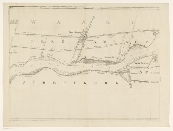
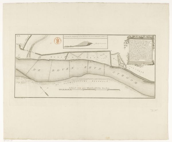
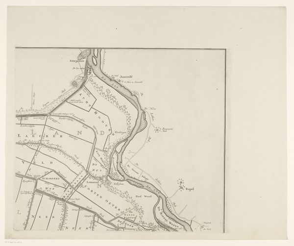
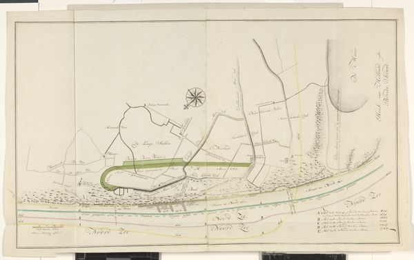
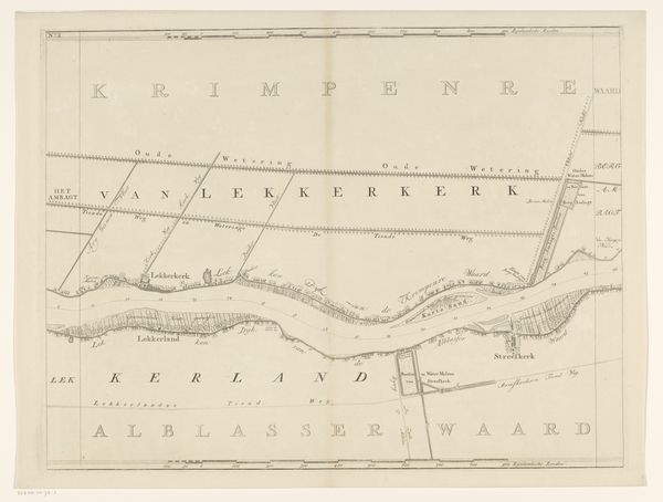
Isaak Tirion created this segment of a map of the Lek River in the eighteenth century, during a period of significant economic and political change in the Netherlands. Tirion's detailed rendering of the landscape invites us to consider the relationship between humans and the environment. The map meticulously charts not just the river itself, but also the surrounding lands, towns, and infrastructure, highlighting the ways in which communities shaped and were shaped by the natural world. The river wasn’t just a geographical feature; it was a vital artery for trade, transport, and communication, influencing the economic fortunes and social structures of the region. Consider the labor that went into constructing and maintaining the infrastructure depicted here—the dykes, canals, and polders. Who benefited from these projects, and who bore the costs? How did these developments affect the lives of ordinary people, particularly those from marginalized communities? Maps like these are never neutral; they reflect particular perspectives and priorities. As you contemplate this map, reflect on the complex interplay between power, knowledge, and representation, and the ways in which our understanding of the world is always mediated by the stories we tell about it.
Comments
No comments
Be the first to comment and join the conversation on the ultimate creative platform.
More like this