graphic-art, print, engraving
#
graphic-art
#
dutch-golden-age
# print
#
landscape
#
engraving
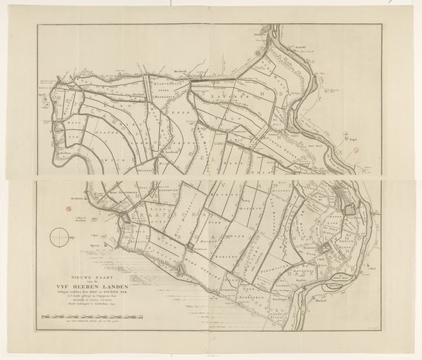
Dimensions: height 476 mm, width 561 mm
Copyright: Rijks Museum: Open Domain
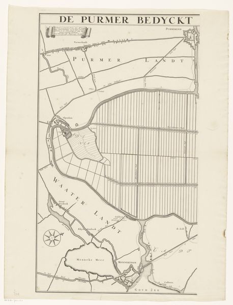
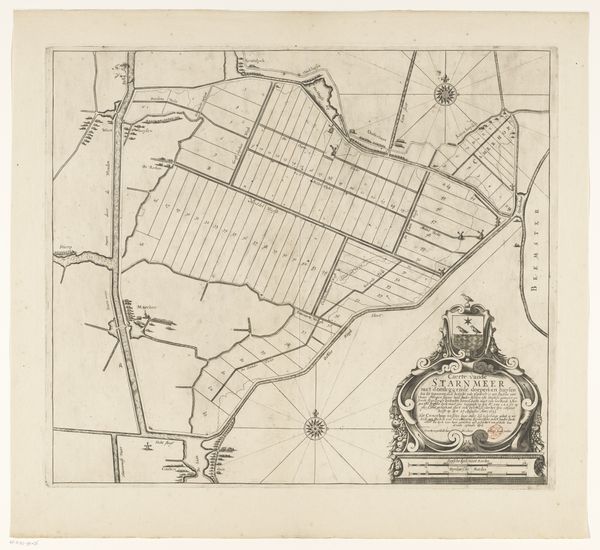
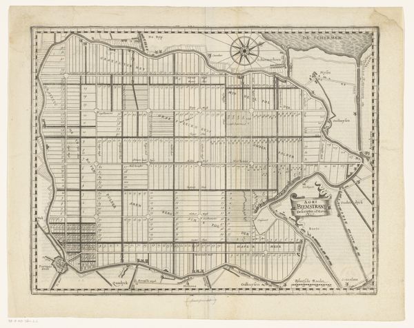
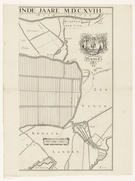
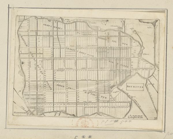
This is Albert Schut’s map of the Wogmeer polder, a region of reclaimed land, created sometime in the early 18th century. At first glance, it’s easy to overlook how this map embodies early modern Dutch culture. Land reclamation projects were feats of engineering prowess, but also acts of asserting control over nature. The strict grid layout visualizes a world neatly divided and managed, reflecting a society deeply invested in order and progress. But, the map also hints at tensions. The polder represents collective efforts, yet the division into plots speaks to individual ownership and economic interests. These spaces weren't empty. They were inhabited landscapes, transformed through labor and shaped by the dreams of those who sought to cultivate them. It makes you wonder about the people who lived and worked here, and how this new landscape impacted their lives. The polder, while seemingly a testament to human achievement, also serves as a reminder of our complex relationship with the environment.
Comments
No comments
Be the first to comment and join the conversation on the ultimate creative platform.
More like this