drawing, print, etching, paper, engraving
#
drawing
#
dutch-golden-age
# print
#
etching
#
old engraving style
#
landscape
#
etching
#
paper
#
geometric
#
engraving
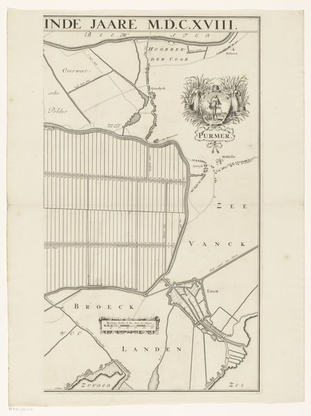
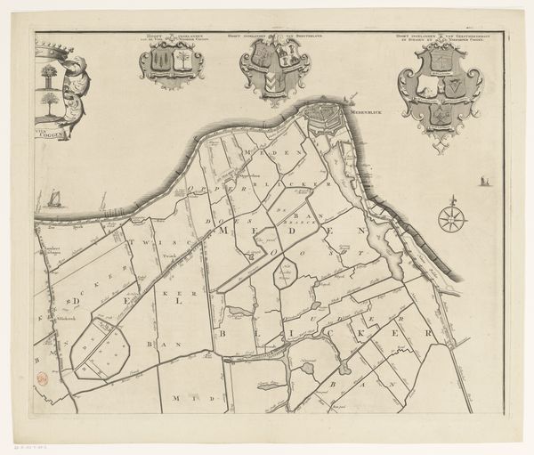
Dimensions: height 688 mm, width 398 mm
Copyright: Rijks Museum: Open Domain
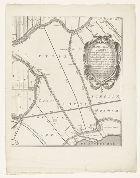
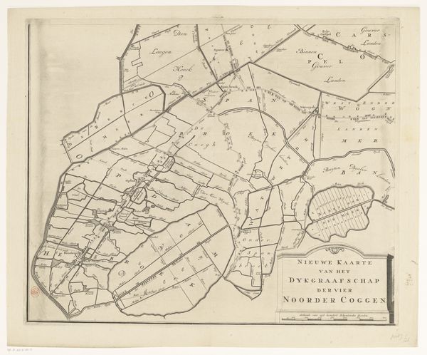
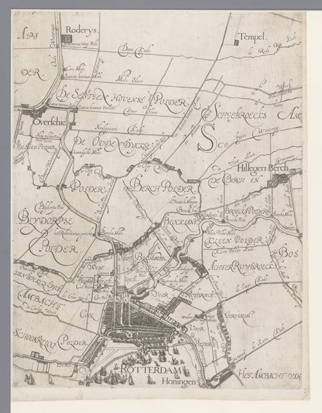
This map of the Purmer region in the Netherlands is an engraving, a process where lines are incised into a metal plate, which is then inked and printed onto paper. The stark, graphic quality of the map comes directly from this linear, subtractive method. Engraving was crucial for disseminating information and standardizing knowledge in early modern Europe. Maps like these weren't just about geography; they were tools of power, defining territories and controlling resources. Notice the rigid, grid-like structure of the reclaimed land. This reflects a highly organized, almost industrial approach to agriculture, driven by economic imperatives. The act of engraving itself is labor-intensive, demanding precision and skill. While the map appears clean and rational, it represents a significant investment of human effort. Consider how the development and management of this landscape would impact the lives of those who worked there. Looking at this map, we begin to see how processes of making are deeply intertwined with social and economic forces.
Comments
No comments
Be the first to comment and join the conversation on the ultimate creative platform.
More like this