print, etching, engraving
#
dutch-golden-age
# print
#
etching
#
etching
#
engraving
Dimensions: height 382 mm, width 378 mm
Copyright: Rijks Museum: Open Domain
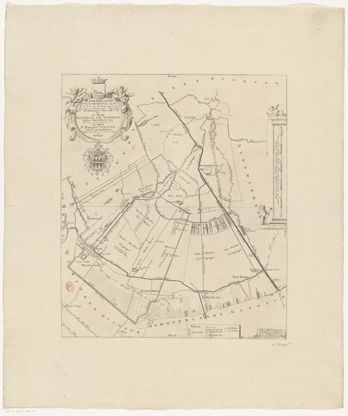
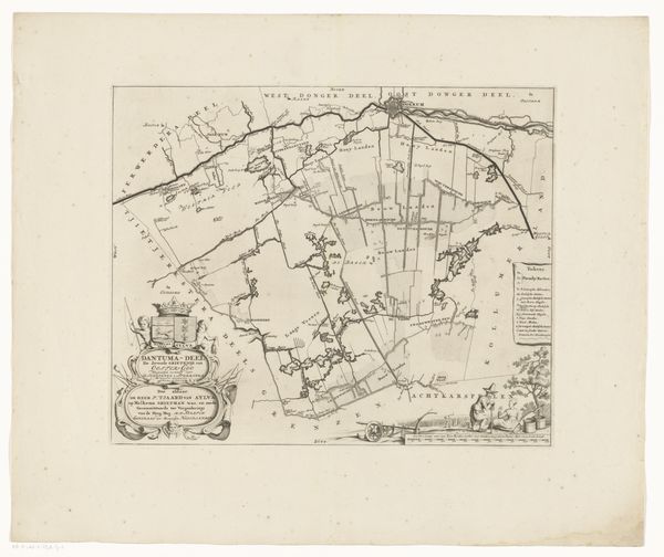
This is an anonymous map of the district of Aengwirden, rendered with ink on paper. The dominant experience is one of order and control, achieved through precise lines and structured composition. The network of lines divides the district into distinct parcels. The upper left corner features an ornate cartouche, signalling authority and ownership, balanced by another decorative element in the lower left. Note how the lines, both straight and curved, aren't merely descriptive. They create a sense of structured space, suggesting a formal grid imposed upon the landscape. This map also suggests the semiotic importance of cartography in the shaping of space and power. The lines and organization of the land aren't neutral, they're a visual codification of property and governance. This anonymous map functions not just as a practical tool but as a statement of control, shaping our understanding of space through its formal design.
Comments
No comments
Be the first to comment and join the conversation on the ultimate creative platform.
More like this