About this artwork
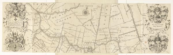
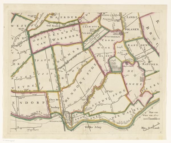
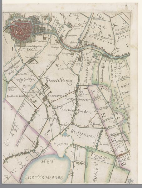
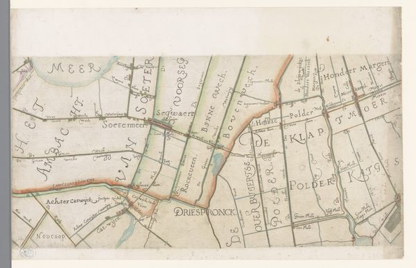
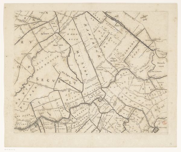
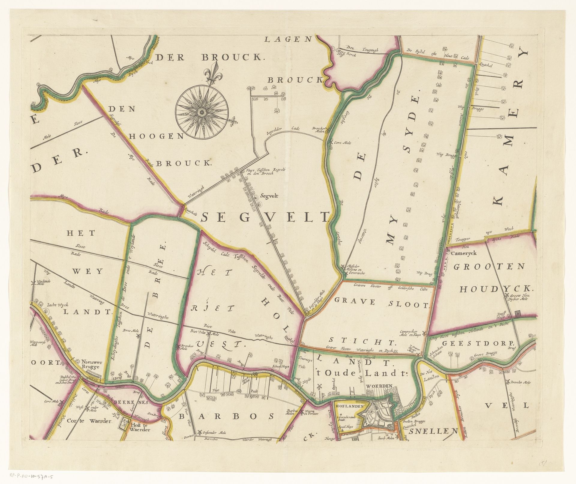
This is a section of "Kaart van het Hoogheemraadschap van Woerden," a map made by Justus Vinckboons in the 17th Century. It is part of a larger map of the Woerden region of the Netherlands. Created during the Dutch Golden Age, the map represents a society deeply invested in land management and water control. But there's more than technical skill at play here. The very act of mapping was a way of exerting control. Through this lens we can explore how such representations are tied to power, ownership, and even the construction of identity. The map doesn't just show land. It subtly highlights who has the power to define and control it. What does it mean to make a map? What does it mean to leave things off the map? Who is included and excluded in its vision? Vinckboons' map isn't just a record of land, it's a testament to the ambitions and assumptions of a society.
Kaart van het Hoogheemraadschap van Woerden (vijfde deel)
1670 - 1684
Justus Vinckboons
1621 - 1698Location
RijksmuseumArtwork details
- Medium
- drawing, print, etching
- Dimensions
- height 420 mm, width 522 mm
- Location
- Rijksmuseum
- Copyright
- Rijks Museum: Open Domain
Tags
Comments
Share your thoughts
About this artwork
This is a section of "Kaart van het Hoogheemraadschap van Woerden," a map made by Justus Vinckboons in the 17th Century. It is part of a larger map of the Woerden region of the Netherlands. Created during the Dutch Golden Age, the map represents a society deeply invested in land management and water control. But there's more than technical skill at play here. The very act of mapping was a way of exerting control. Through this lens we can explore how such representations are tied to power, ownership, and even the construction of identity. The map doesn't just show land. It subtly highlights who has the power to define and control it. What does it mean to make a map? What does it mean to leave things off the map? Who is included and excluded in its vision? Vinckboons' map isn't just a record of land, it's a testament to the ambitions and assumptions of a society.
Comments
Share your thoughts