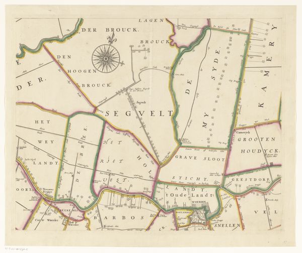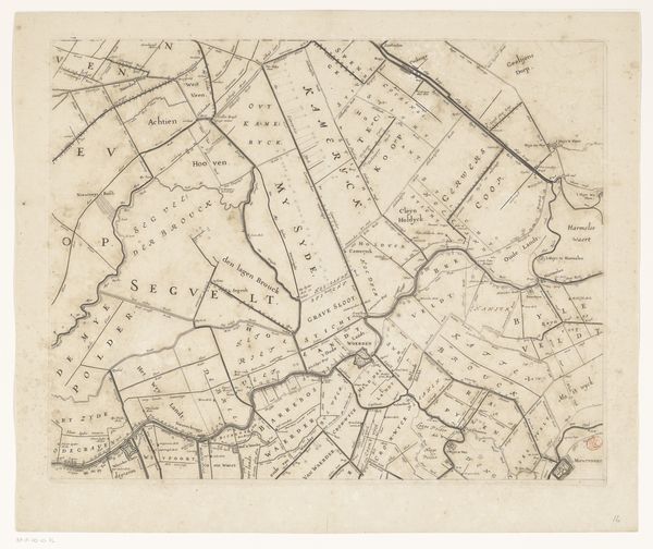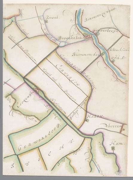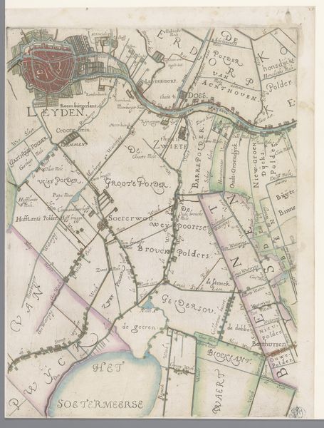
1670 - 1684
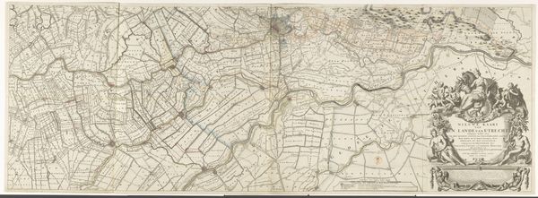
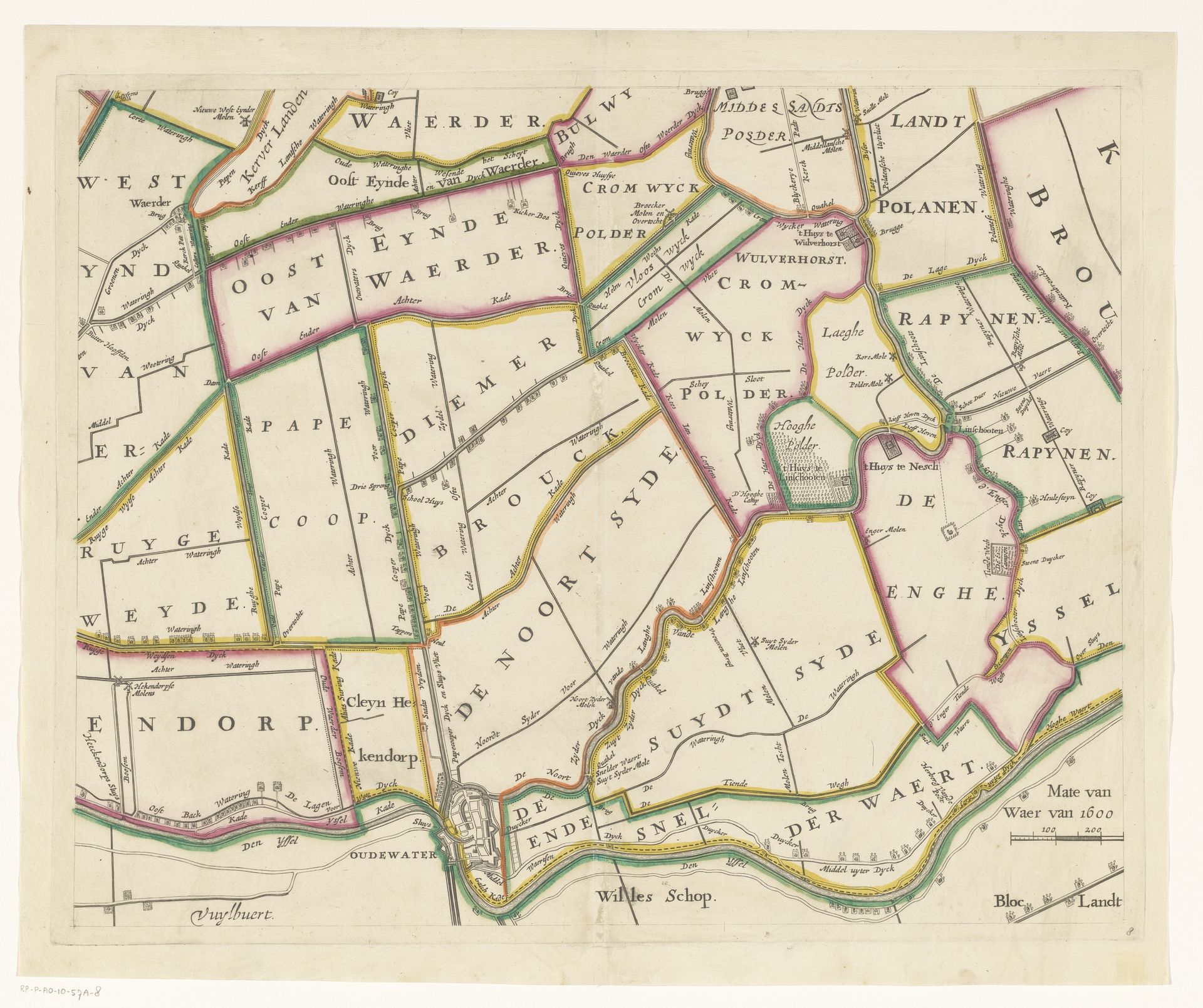
Kaart van het Hoogheemraadschap van Woerden (achtste deel)
Justus Vinckboons
1621 - 1698Location
RijksmuseumListen to curator's interpretation
Curatorial notes
Justus Vinckboons created this section of a map of the Hoogheemraadschap of Woerden, a Dutch water board, in the 17th century. During this era the Dutch Republic was not only a center for trade and cartography but also a society deeply shaped by its relationship with water. This map offers insight into land management and the complex systems of waterways and polders which were crucial for agriculture and urbanization. The detailed mapping of land parcels reflects a society highly organized around property and resources. Vinckboons, as a cartographer, was instrumental in shaping the perception and utilization of land, illustrating the intersection of power, knowledge, and control over natural resources. Consider the labor and expertise required to maintain these landscapes, and reflect on the social structures that governed land ownership and usage. This map not only charts geographical space but also tells a silent story of human intervention and societal organization.