print, ink, engraving
#
baroque
# print
#
pen sketch
#
landscape
#
ink
#
line
#
engraving
Dimensions: height 231 mm, width 334 mm
Copyright: Rijks Museum: Open Domain
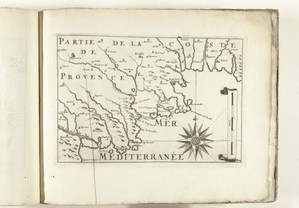
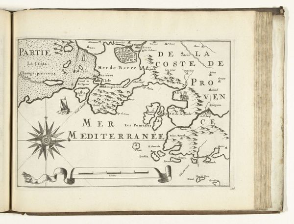
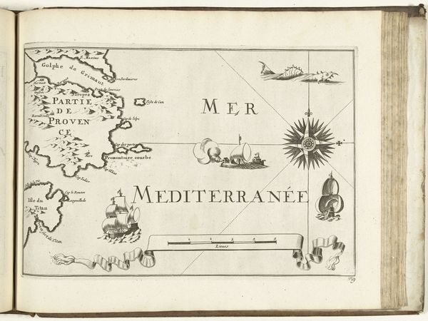
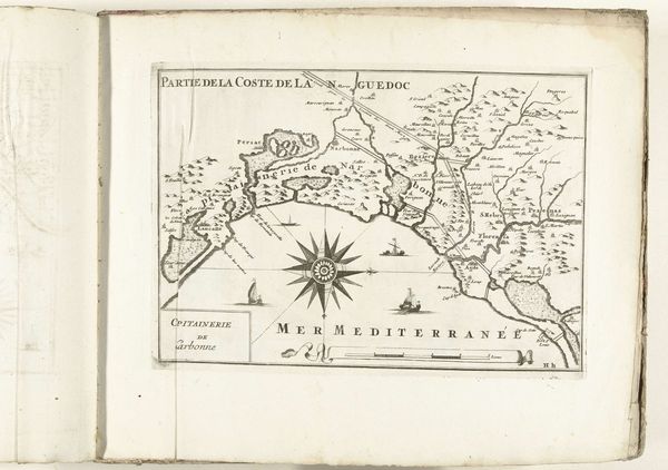
This is an anonymous map of the French southern coast near Toulon, created around 1702. The stark contrast between the stark black lines and the pale ground immediately draws the eye, producing a dramatic sense of depth and clarity. The composition is anchored by a compass rose, whose radiating lines point in all directions, mirroring the geographical scope of the map itself. The strategic placement of labels and toponyms guides our reading of the image. Note how the land masses are densely inscribed, while the sea remains open and largely unmarked, except for the depiction of several ships and stylized waves. The map engages with prevailing notions of space and power. Through its emphasis on coastal features and naval activity, the map underscores the importance of maritime control for both trade and military dominance. Consider how such maps were not merely descriptive tools but also instruments of political strategy, designed to shape perceptions and assert territorial claims. It offers us a glimpse into the era's geopolitical landscape.
Comments
No comments
Be the first to comment and join the conversation on the ultimate creative platform.
More like this