drawing, ink, engraving
#
drawing
#
baroque
#
old engraving style
#
ink
#
ink drawing experimentation
#
geometric
#
engraving
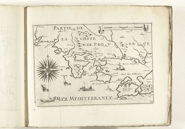
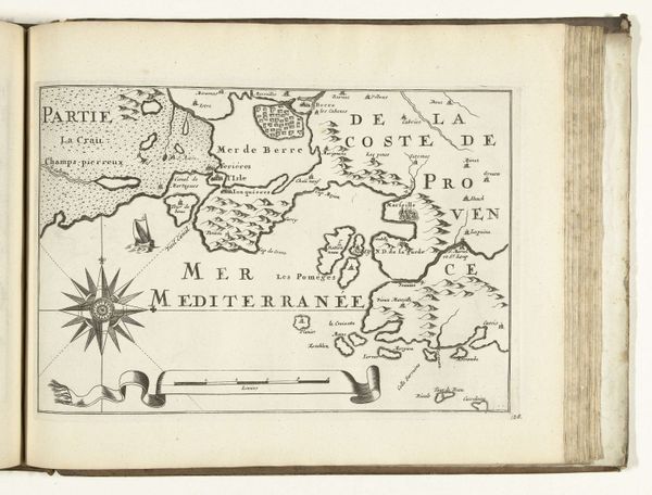
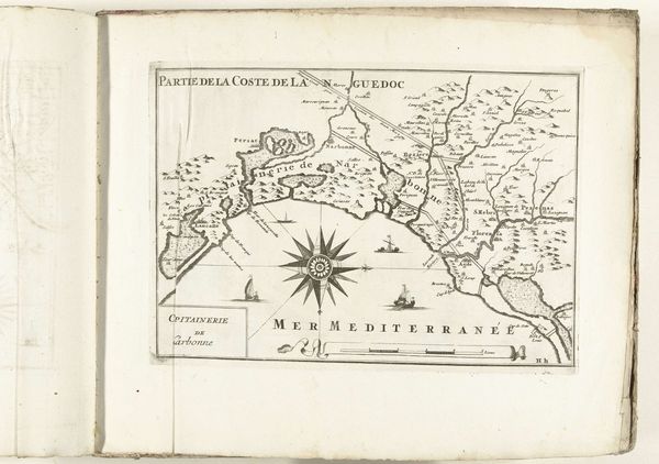
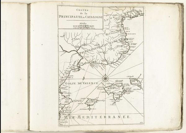
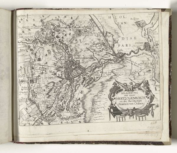
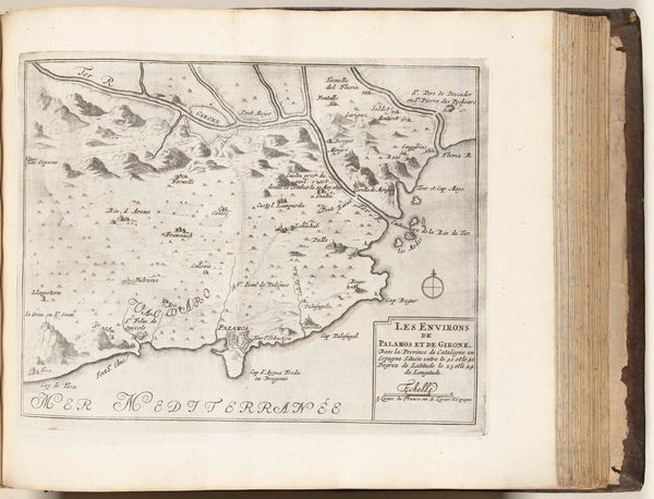
Dimensions: height 229 mm, width 333 mm
Copyright: Rijks Museum: Open Domain
This is an anonymous map of the French southern coast near Antibes, created around 1702. Consider the power dynamics inherent in map-making of this era. Cartography was not just a scientific endeavor, but a tool of empire, used to claim and control territories. This map, by its very existence, asserts a certain dominance over the landscape it depicts. It suggests the ability to survey, understand, and ultimately, govern this space. Think about the individuals whose knowledge was excluded from the creation of this map. Local communities, indigenous populations, and marginalized groups all possessed intimate understandings of the land, yet their perspectives were often ignored in favor of a detached, ‘objective’ view. This map can be seen as a reflection of the societal structures and power dynamics of its time. It speaks to the ways in which knowledge is constructed, controlled, and used to shape our understanding of the world.
Comments
No comments
Be the first to comment and join the conversation on the ultimate creative platform.
More like this