print, etching, engraving
#
dutch-golden-age
# print
#
etching
#
landscape
#
etching
#
geometric
#
engraving
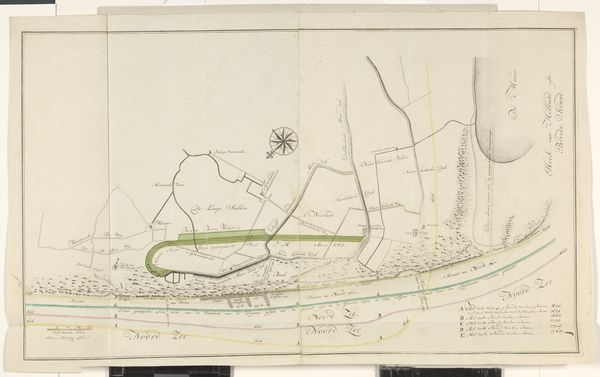
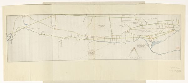
Dimensions: height 990 mm, width 2238 mm
Copyright: Rijks Museum: Open Domain
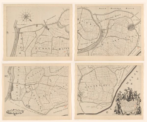
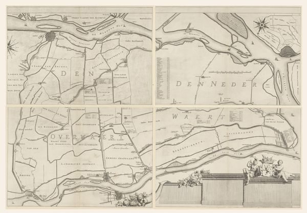
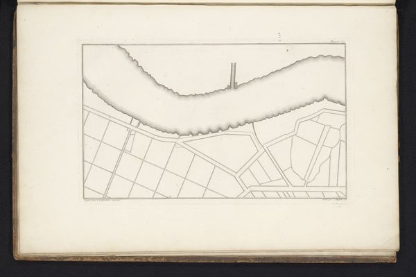
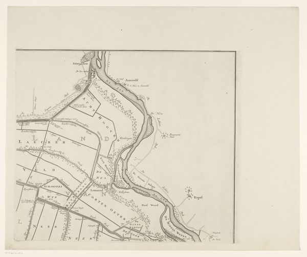
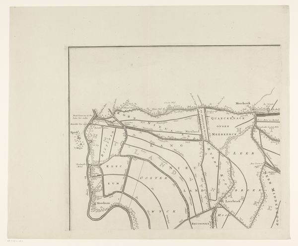
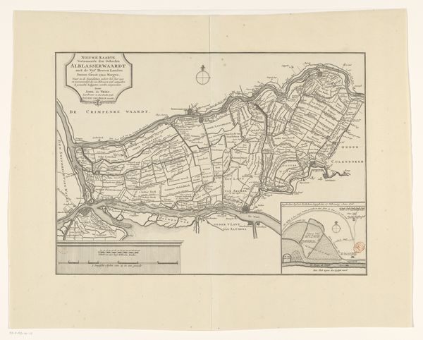
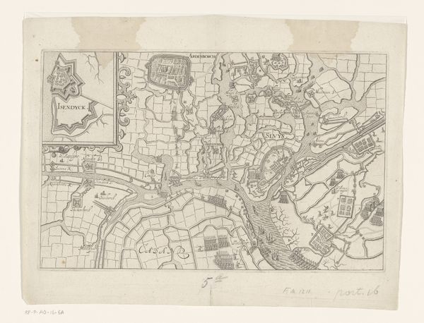
This eight-part map of the island of Rozenburg was drawn anonymously, at an unknown date. A visual language of land division and control, the map connects to a wider context of property rights and political power. The neat lines and careful renderings create meaning through their visual code of order and rationality. We can look to the history of Dutch land reclamation and hydraulic engineering for a sense of the cultural and economic forces at play. The map suggests a society deeply invested in controlling and organizing its environment. We might also consider the institutional histories of Dutch cartography and surveying, professions closely tied to state power and commercial expansion. Was this map intended for government use, for private sale, or some other purpose? By consulting archives of local government records, shipping manifests, and estate inventories, one can discover more about the map’s specific social and institutional context. In the end, it is these conditions that give an artwork its meaning and its interest for us today.
Comments
No comments
Be the first to comment and join the conversation on the ultimate creative platform.
More like this