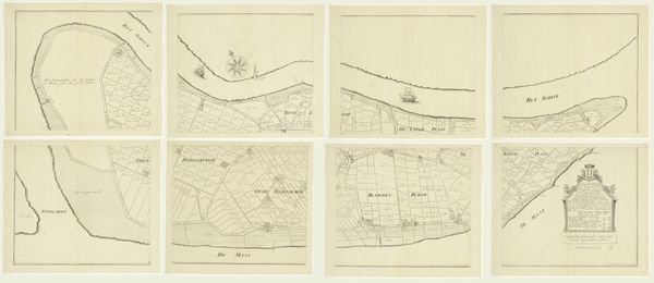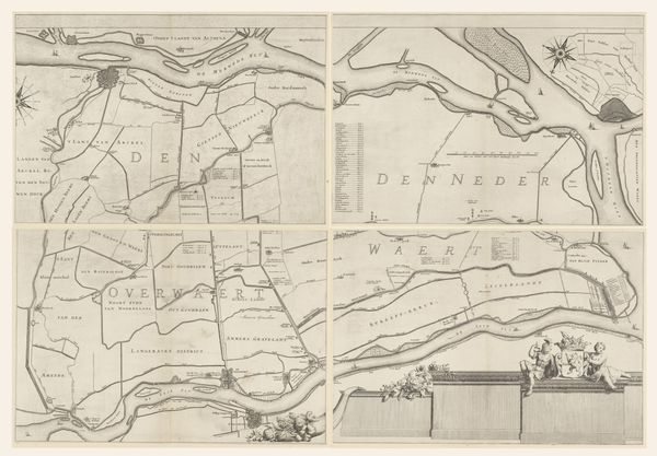
1701
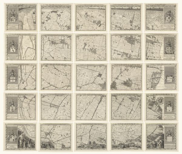
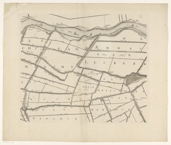
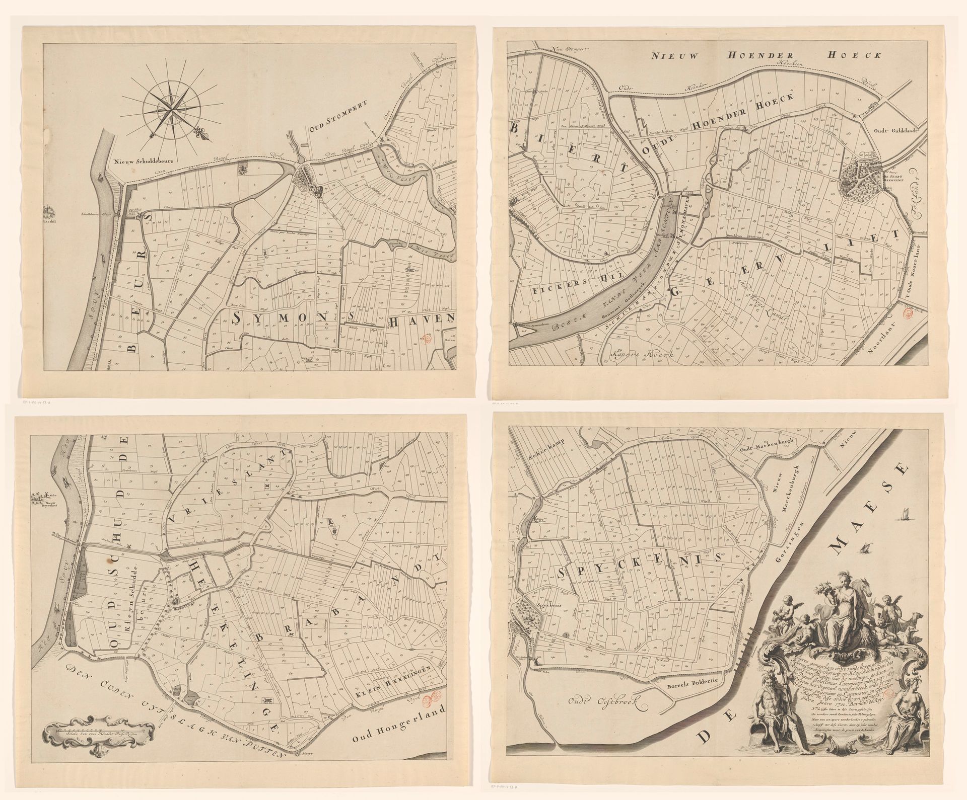
Kaart van de Ring van Putten, bestaande uit vier delen
Gilliam van der Gouwen
1740Location
RijksmuseumListen to curator's interpretation
Curatorial notes
Gilliam van der Gouwen created this map of the Ring of Putten in four parts. It's a fascinating look at the world as seen through the eyes of the Dutch Golden Age. During this time the Netherlands was a major maritime power, deeply engaged in global trade. Mapmaking wasn’t just about geography; it was about power, ownership, and commerce. Looking at this map, consider who it was made for. Landowners? Merchants? Politicians? The details included and excluded would reflect their interests and worldview. The careful rendering of land divisions speaks to the intense management of resources and property that characterized the era. As you observe this, think about the labor that shaped this landscape, and who benefited from it. In what ways do you think maps reflect and shape our understanding of the places we inhabit?