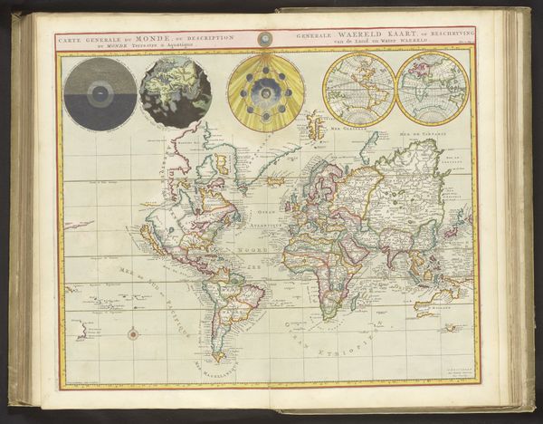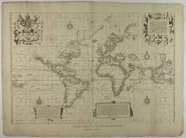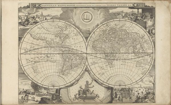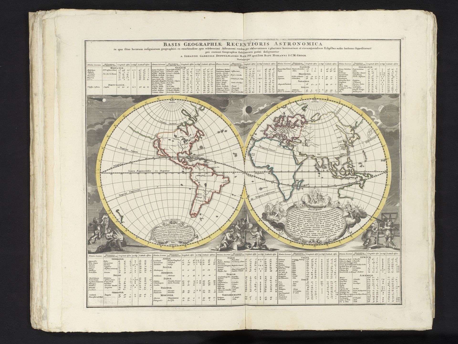
1742
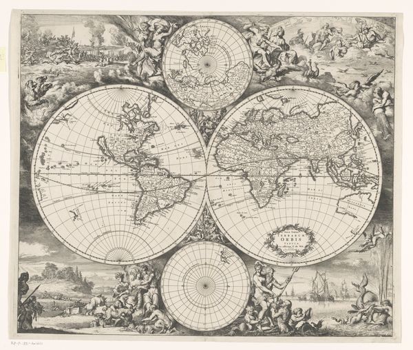
Wereldkaart in twee hemisferen met tabellen met aan sterrenkunde gerelateerde geografische informatie
Anonymous
@anonymousLocation
RijksmuseumListen to curator's interpretation
Curatorial notes
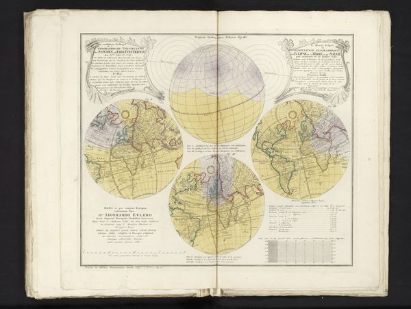
This is an undated map in two hemispheres, accompanied by astronomical tables, created by an anonymous artist. The map offers a window into the world as it was understood – or perhaps, more accurately, as it was imagined – through a European lens. Encapsulated here are the seeds of exploration, colonialism, and the imposition of Western knowledge systems onto a vastly diverse planet. Note how the continents are rendered with a mix of detail and approximation, reflecting the incomplete and often biased geographical understanding of the time. Consider, too, the figures that frame the map. Are they simply decorative, or do they symbolize the human ambition to chart and control the earth? The astronomical tables suggest a desire to bring order to the cosmos, mirroring the earthly drive to classify and conquer. It invites us to reflect on the power dynamics inherent in mapmaking, and questions whose stories are centered, and whose are marginalized.