print, paper, engraving
baroque
landscape
paper
cityscape
engraving
Dimensions: height 259 mm, width 350 mm
Copyright: Rijks Museum: Open Domain
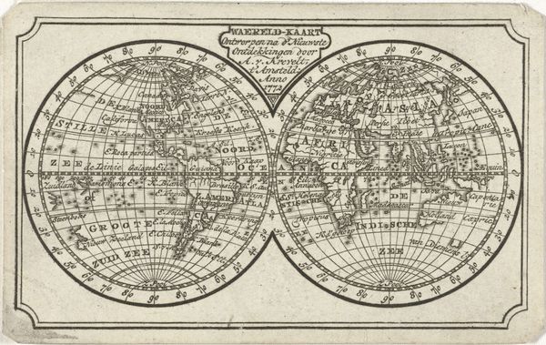
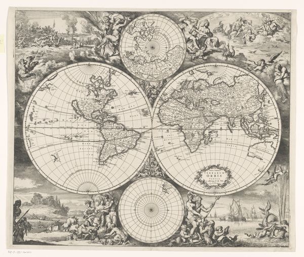
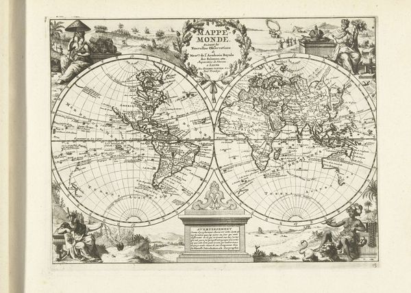
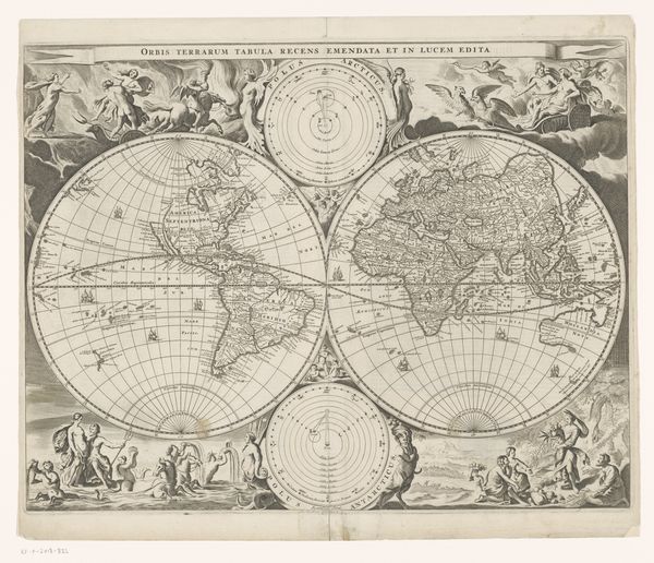
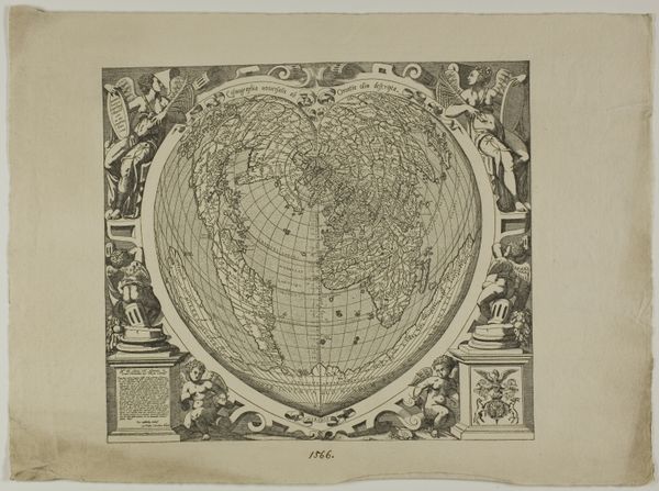
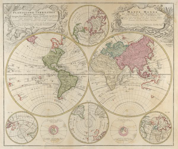
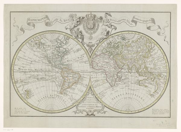
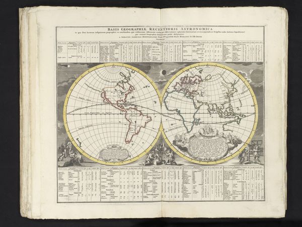
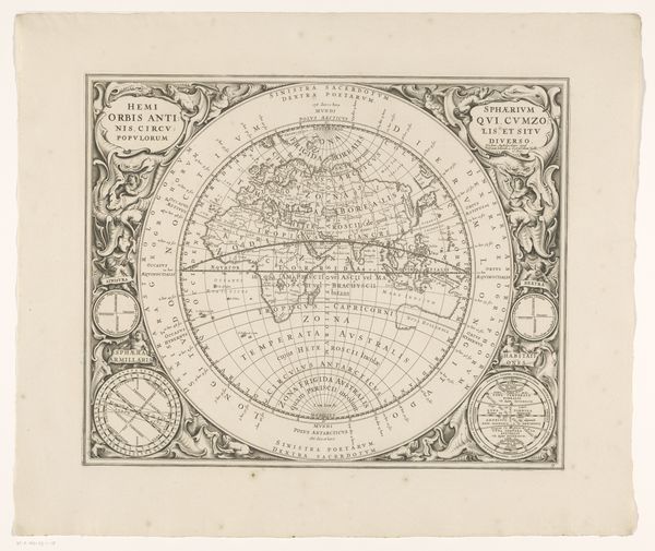
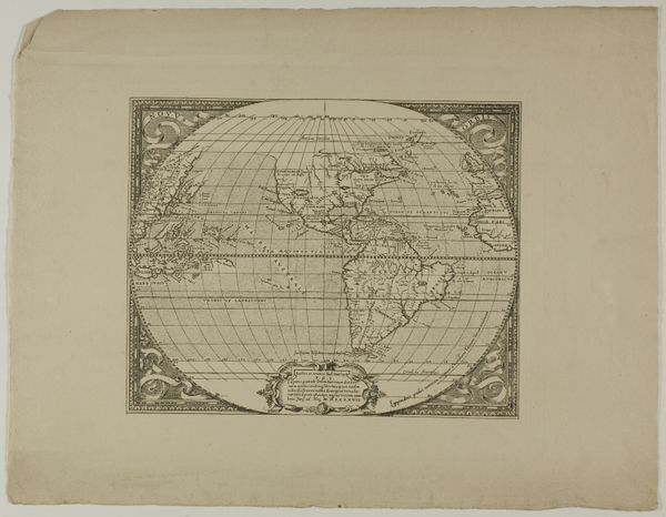
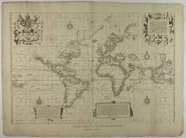
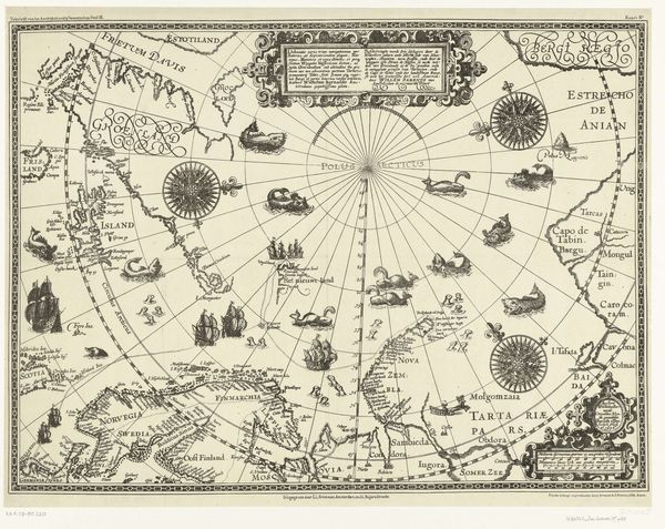
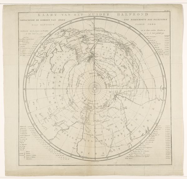
This world map was produced as an engraving, by an anonymous artist, likely in the Netherlands. Cartography was a booming industry in the Dutch Golden Age, driven by trade and colonial expansion. The map reflects this moment, projecting the world through a European lens. Note the prominence given to Europe and the relatively distorted representations of other continents. The decorative elements—scenes of trade, exploration, and military power—celebrate Dutch global reach. But maps are never neutral. They reflect the values and biases of their creators. This image is not just a geographical tool, it's a statement of power, a declaration of dominance. The blank spaces invite further exploration, suggesting both opportunity and a claim to the unknown. To fully understand this map, we need to delve into the archives and libraries, examining the economic records of the Dutch East India Company, the political tracts of the era, and the personal accounts of those who made these voyages. Only then can we truly grasp the complex social and political context in which this image was produced.
Comments
No comments
Be the first to comment and join the conversation on the ultimate creative platform.