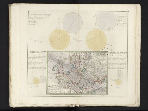
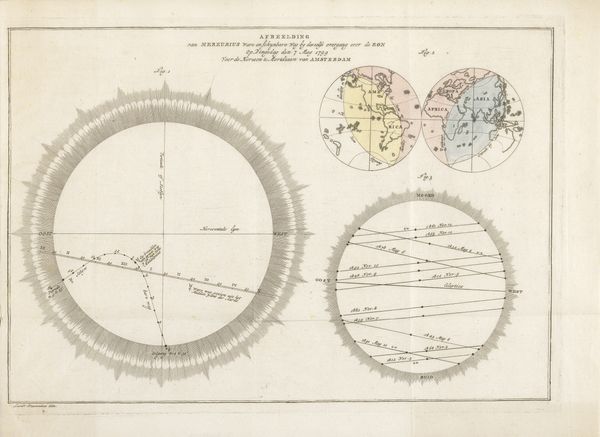
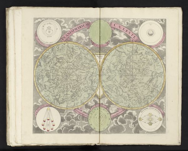
Voorspelling van en uitleg over de zonsverduistering van 25 juli 1748, eerste blad 1747
0:00
0:00
anonymous
Rijksmuseum
print, paper, engraving
# print
#
landscape
#
paper
#
geometric
#
history-painting
#
engraving
Dimensions: height 488 mm, width 570 mm
Copyright: Rijks Museum: Open Domain
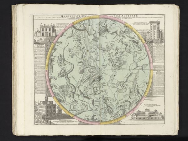
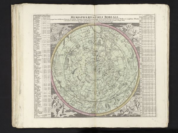
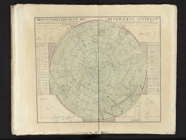
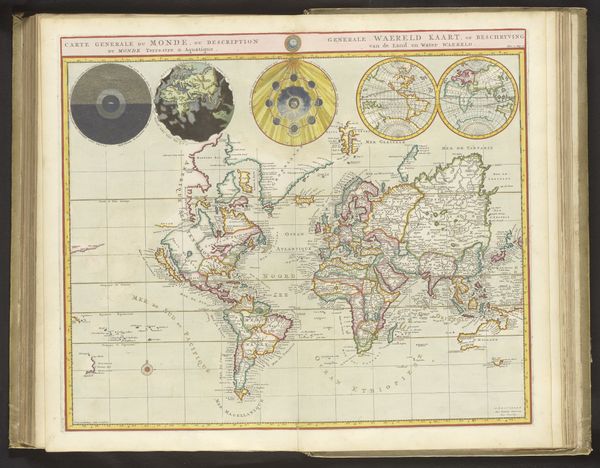
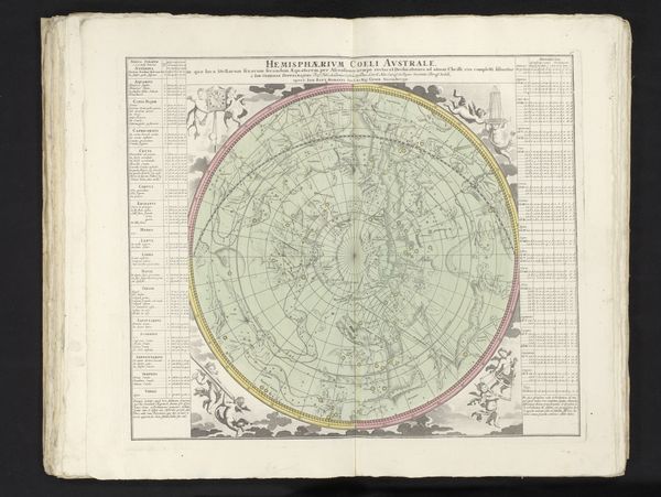
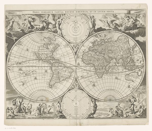
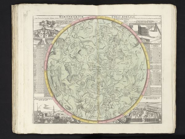
This is the first page of an anonymous publication from 1748, forecasting and explaining the solar eclipse of July 25th of that year. Amidst the Enlightenment's fervor for reason and scientific inquiry, consider how cartography also played a crucial role in shaping European identity and colonial ambitions. These detailed maps weren't just about charting the earth; they were about claiming it. They served as tools of empire, defining territories and asserting dominance. Notice how Europe is centrally located within the maps. Think about how this positioning influences our perception, reinforcing a Eurocentric worldview. The meticulous details contrast with the simplified representations of other continents. It's a visual echo of the era's power dynamics, where knowledge was power, and mapping was an act of control. Through this lens, the eclipse becomes more than a celestial event. It becomes intertwined with human agency and the assertion of knowledge, reflecting the complex interplay of science, power, and representation.
Comments
No comments
Be the first to comment and join the conversation on the ultimate creative platform.
More like this