print, etching, engraving
#
dutch-golden-age
# print
#
etching
#
landscape
#
cityscape
#
engraving
Dimensions: height 458 mm, width 514 mm
Copyright: Rijks Museum: Open Domain
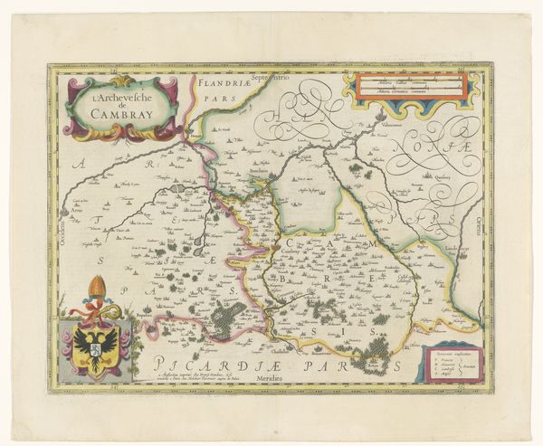
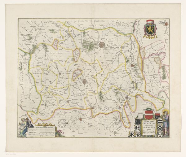
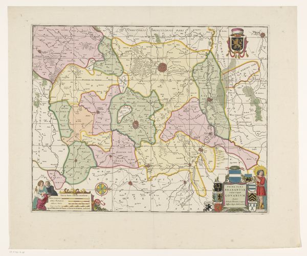
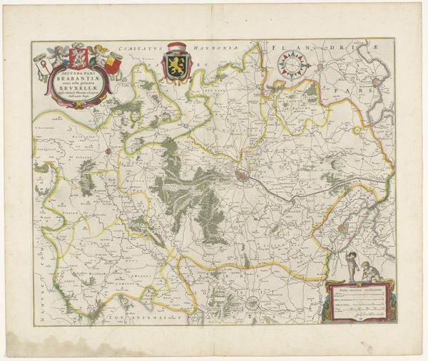
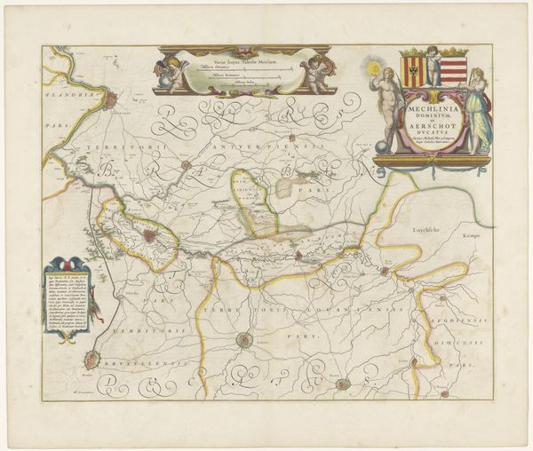
This map of the Meierij of 's-Hertogenbosch was made anonymously, but it offers a fascinating glimpse into the region's history and social structure. The map delineates territorial control in the Netherlands, a region of Europe historically contested. Symbols, cartouches and coats of arms are placed on the map and operate as visual cues, guiding the viewer to understand the political landscape of the time. It is a statement of power and authority. Who commissioned it? Was it for military purposes or perhaps for civic administration? To truly understand the map's meaning, we can explore archives and historical documents. By doing so we can gain insights into the cartographer's intentions, the map's intended audience, and its role within the social and institutional context of its time. The power of art lies in its ability to reflect and shape the social and political forces that govern our world.
Comments
No comments
Be the first to comment and join the conversation on the ultimate creative platform.
More like this