print, engraving
#
dutch-golden-age
# print
#
landscape
#
cityscape
#
engraving
Dimensions: height 418 mm, width 513 mm
Copyright: Rijks Museum: Open Domain
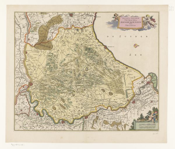
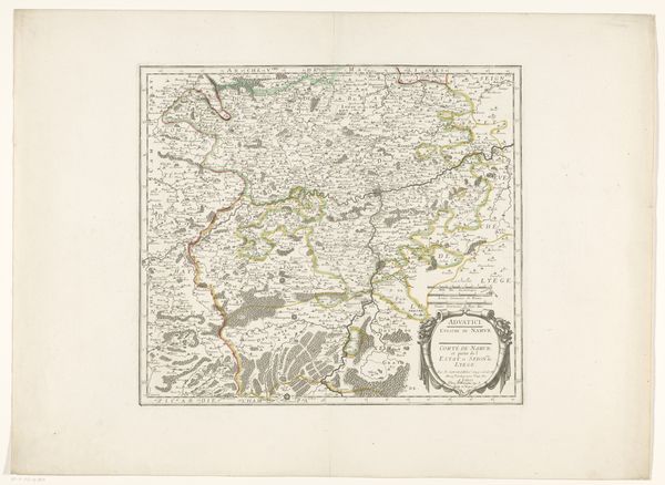
This detailed map of the Brugse Vrije, part of Flanders, presents us with an intriguing blend of practicality and symbolic expression. Note the cherubic figures adorning the lower left, framing a dedication. These aren't mere decoration. They invoke classical ideals, reminiscent of ancient Roman art, symbolizing peace, prosperity and divine favour. We see similar cherubs in Renaissance paintings, acting as messengers or guardians, their presence intended to elevate and sanctify the image. This borrowing from the past illustrates the enduring influence of classical motifs on the visual language of later periods. Consider how cartography itself becomes a symbolic act. The map is not just a representation of space, but also a statement of power, knowledge, and control over territory. The act of mapping transforms the land into a concept, imbued with cultural and political meaning, leaving a trace in our collective memory.
Comments
No comments
Be the first to comment and join the conversation on the ultimate creative platform.
More like this