c. 1688 - 1689
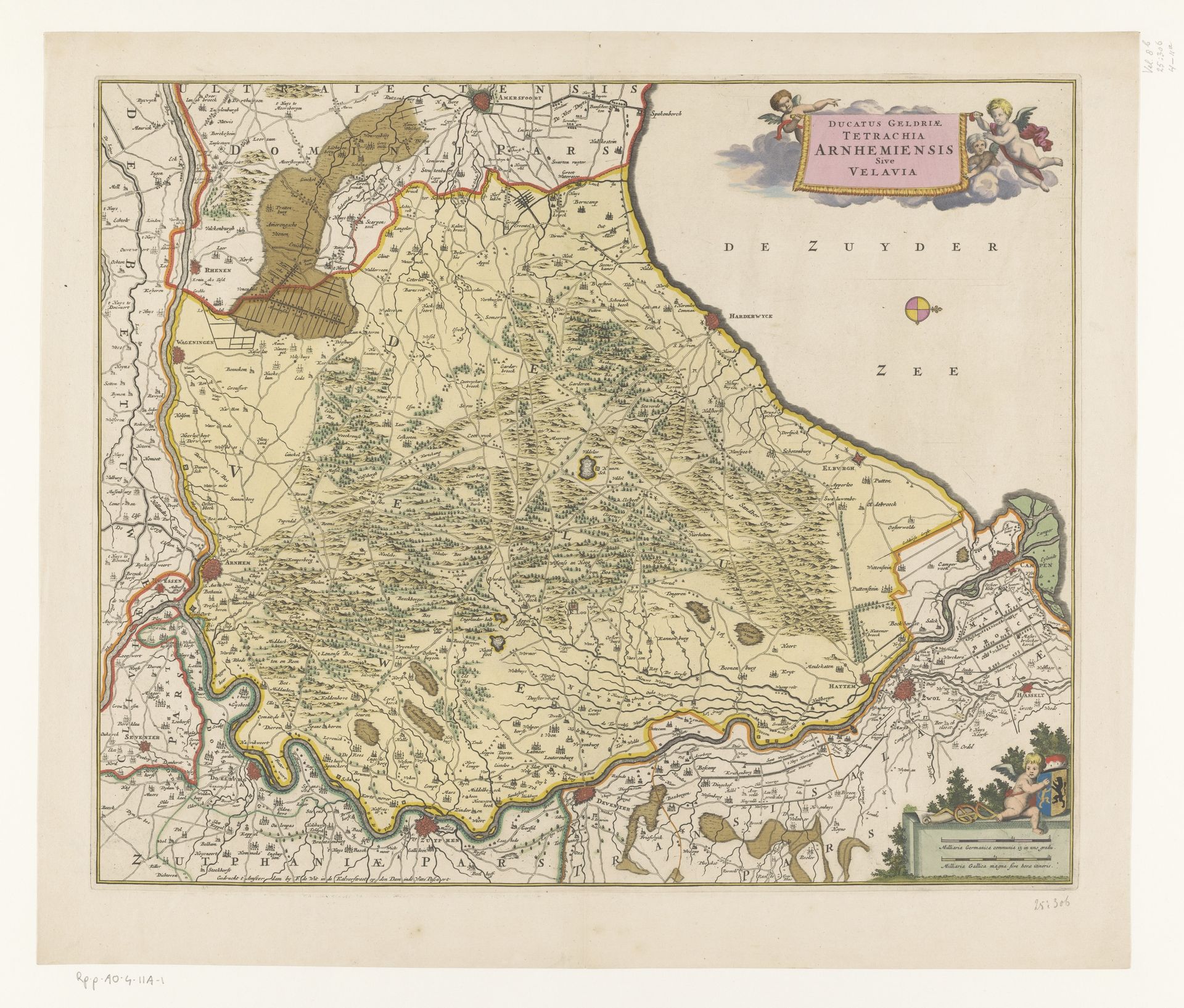
Kaart van de Veluwe
Anonymous
@anonymousLocation
RijksmuseumListen to curator's interpretation
Curatorial notes
This is an anonymous map of the Veluwe region, now held at the Rijksmuseum. Maps such as this one weren't just about geographical accuracy; they were powerful tools used to establish control and convey information about land, resources, and power dynamics. The Veluwe, with its forests and strategic location, held significance in the socio-political landscape of its time. This map plays with established ways of seeing and knowing the land. It has ornate embellishments and symbolic representations of cherubs and figures within nature that elevate the status of the region. The act of mapping itself can be seen as an assertion of control over the space, framing the land from a specific perspective and reinforcing particular narratives about ownership and identity. These maps offer us a glimpse into the past, revealing the intricate relationship between people, power, and the spaces they inhabit. They offer insight into how societies perceive and shape the world around them.