print, etching
# print
#
etching
#
landscape
#
etching
Dimensions: height 38.2 cm, width 50 cm
Copyright: Rijks Museum: Open Domain
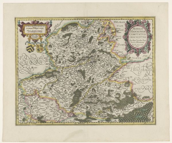
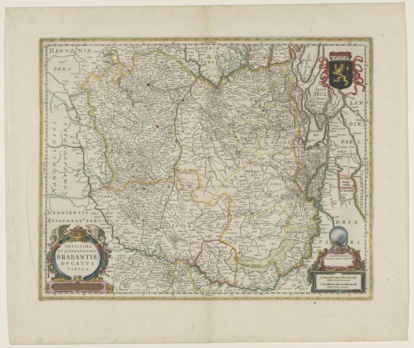
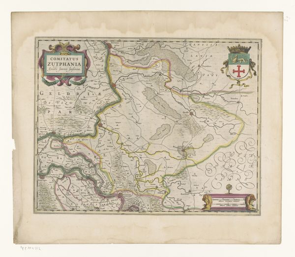
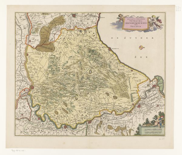
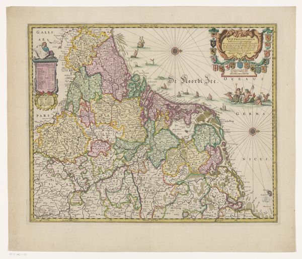
Jacques de Chieze made this map of the Principality of Orange and the Comtat Venaissin in France. The map uses visual codes common at the time to represent geography and political divisions. Consider the role of cartography in shaping political realities and asserting territorial claims. The production of maps like this one reflected and reinforced existing power structures, while also serving as tools for administration and control. We should ask, what was the mapmaker’s institutional role? Was he a political actor, a propagandist, or a detached observer? The inclusion of heraldry suggests an alliance with power. How does the map advance a partisan agenda? To truly understand it, we can investigate the history of cartography, examining the social and political factors that influenced mapmaking practices. Researching the historical context of the Principality of Orange and the Comtat Venaissin, including their political status, economic activities, and social relations, can offer insight into the role this map played in its time.
Comments
No comments
Be the first to comment and join the conversation on the ultimate creative platform.
More like this