graphic-art, print, etching, engraving
graphic-art
dutch-golden-age
etching
landscape
engraving
Dimensions: height 384 mm, width 492 mm
Copyright: Rijks Museum: Open Domain
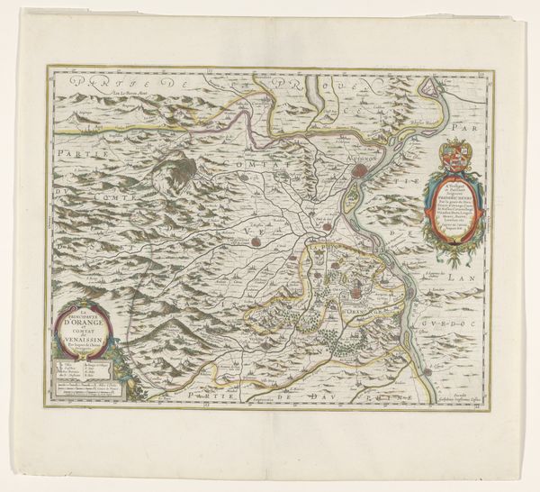
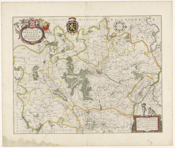
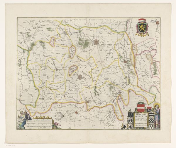
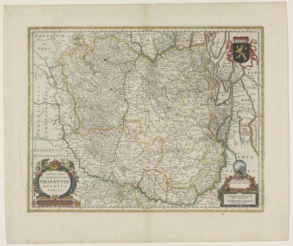
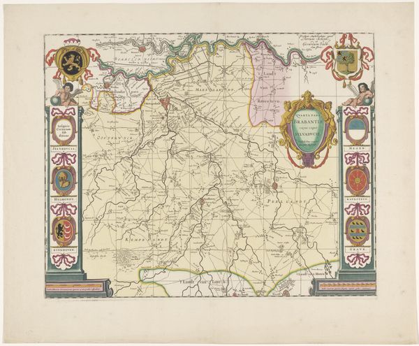
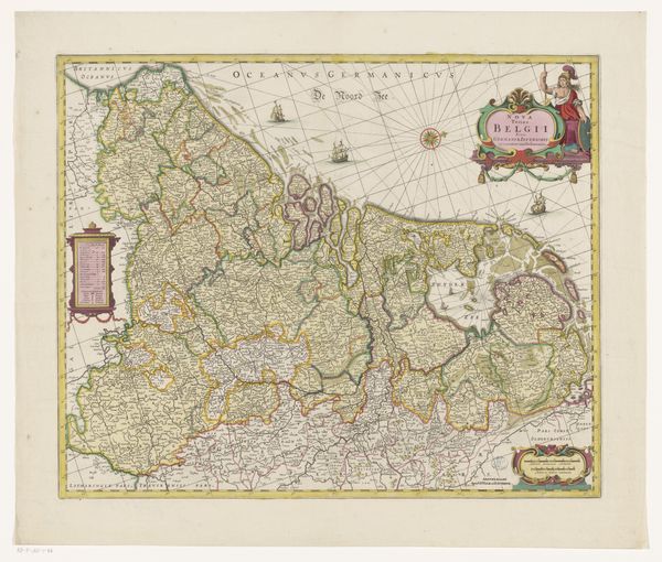
Curator: Here at the Rijksmuseum, we have an anonymous print titled "Kaart van Overijssel," created sometime between 1653 and 1666. Editor: My immediate thought is that it's surprisingly vibrant for a map of its age. The colours are muted, but rich, and the details meticulously etched. You can almost trace the contours of the land and imagine the labor that went into surveying it. Curator: Precisely. This wasn't simply about geographical accuracy, but about power. Mapping territory meant claiming it, understanding its resources, and controlling its population. Consider the visual language: Latin text mingling with Dutch, a nod to both scholarly authority and local governance. Editor: And those decorative cartouches, announcing the regions. There’s a distinct aesthetic at play, wouldn’t you say? I imagine this was a statement piece in a wealthy merchant's home, displaying civic pride alongside a grasp of the world's resources. You can also almost smell the ink and imagine the texture of the paper used. Curator: Definitely, it reflected Overijssel's burgeoning importance in the Dutch Republic. Look closer at how the cities and towns are depicted – not just locations, but miniature representations of their status. What story do those trees scattered around tell? Likely it also speaks to land ownership and the beginnings of landscape architecture as well. Editor: Ah, the forests and the waterways! A tangible record of the materials extracted and moved. It also prompts questions: Who owned the land? Who did the labor of surveying and etching this? Curator: Indeed. Consider the intersections of class, gender, and the rise of cartography as a 'scientific' endeavor. This map encodes very particular perspectives. The Dutch golden age wasn’t prosperous for everybody, and so it is important to view this artifact alongside the historical marginalization it may have perpetuated. Editor: Well, thinking about production allows me to focus on not just what's displayed, but what has been removed to show these things. Curator: It’s been fascinating to consider this map as more than just a geographic document but rather as a political statement of power and progress of its age, too. Editor: It shows the confluence of knowledge and the practical need to exert dominion, expressed through laborious means, offering us new lines of inquiry to consider when understanding labor, production, and art.
Comments
No comments
Be the first to comment and join the conversation on the ultimate creative platform.