#
aged paper
#
toned paper
#
old engraving style
#
retro 'vintage design
#
wood background
#
personal sketchbook
#
traditional style
#
watercolour illustration
#
natural palette
#
botanical art
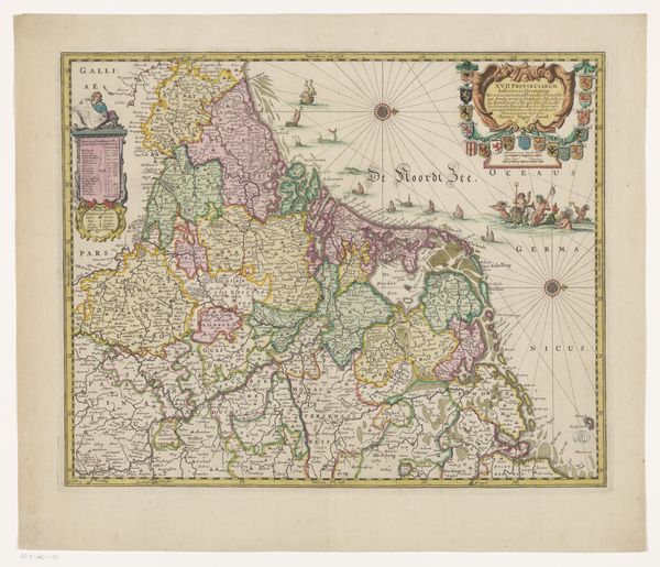
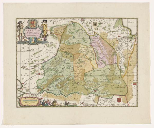
Dimensions: height 443 mm, width 544 mm
Copyright: Rijks Museum: Open Domain
This is an anonymous map of the Seventeen Provinces, capturing a pivotal moment in European history. Made during a time of conflict and shifting identities, this map reflects the complex interplay of politics, culture, and regional identity in the Low Countries. The Seventeen Provinces, encompassing parts of modern-day Netherlands, Belgium, and Luxembourg, were a mosaic of diverse communities each with its own language, customs, and historical ties. This map would have been a tool for administrators, merchants, and military strategists, each of whom sought to exert control over this land. Yet, maps also subtly shape how people perceive their place in the world. The rising merchant class often found itself negotiating allegiances between local traditions and broader economic opportunities. Consider the emotional weight of borders, the sense of belonging, and the experience of displacement as you imagine the lives of those who lived within these depicted territories. This map is not just a depiction of land; it is a reflection of the aspirations, anxieties, and struggles of its time.
Comments
No comments
Be the first to comment and join the conversation on the ultimate creative platform.
More like this