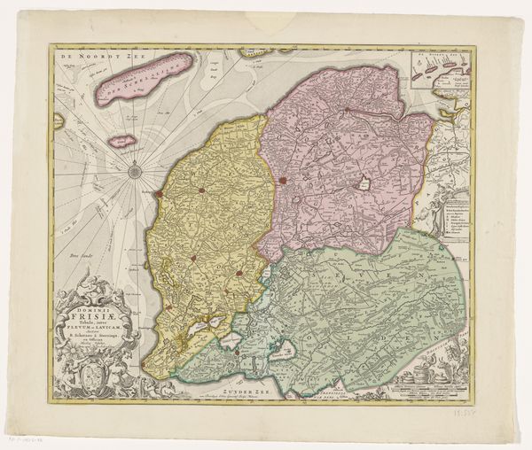
Curatorial notes
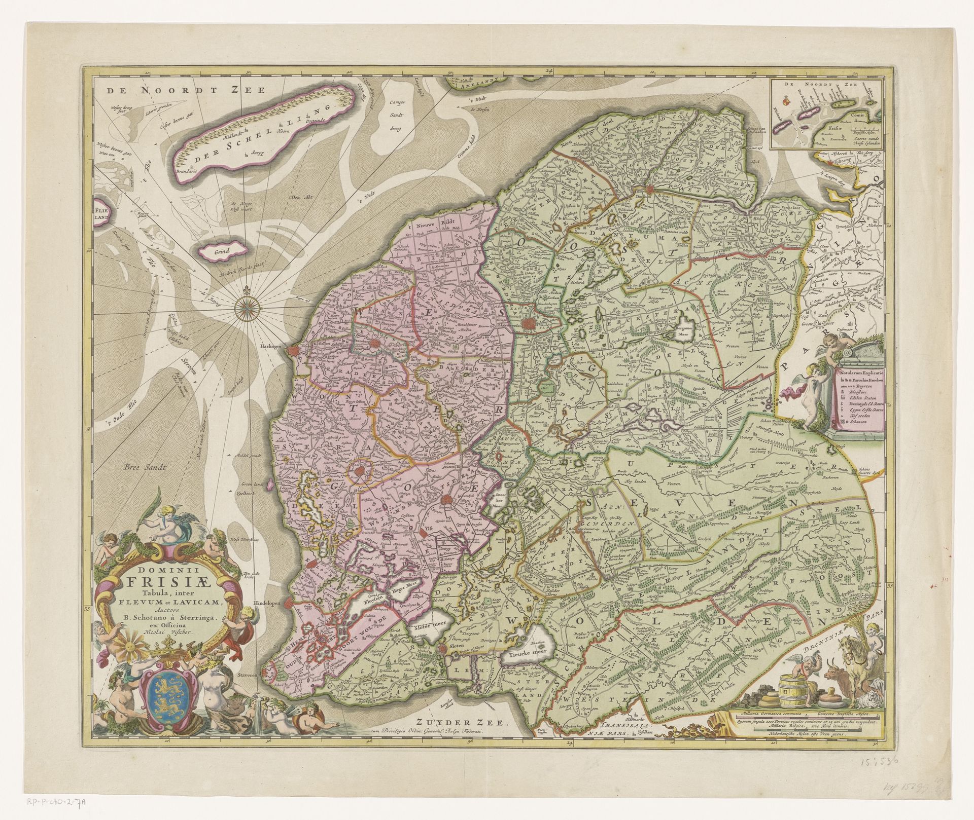
This is an undated map of Friesland created by an anonymous artist. It invites us to consider how land is not just a geographical space, but also a site of identity, power, and cultural narrative. Maps like these were crucial in solidifying territorial claims and shaping perceptions of regions and their people. Here, Friesland is presented through the eyes of an outsider, framing it within a specific political and economic context. The detailed rendering of towns and waterways speaks to the practical needs of governance and trade, yet it also subtly asserts a particular vision of this land. Consider how the cartographer’s choices—what to include, what to emphasize, and how to depict the landscape—reflect broader societal values and power structures. How does the map function as a tool for both understanding and controlling a region? Think about what stories are told and whose perspectives are prioritized. In what ways do you think this map defined and influenced Friesland's place in the world?