1702 - 1719
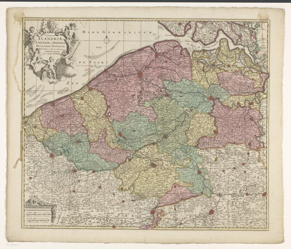
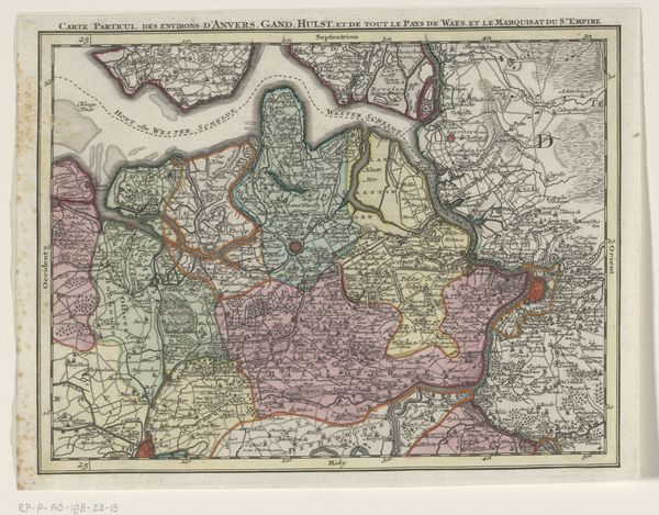
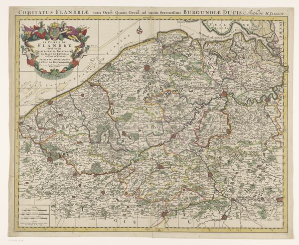
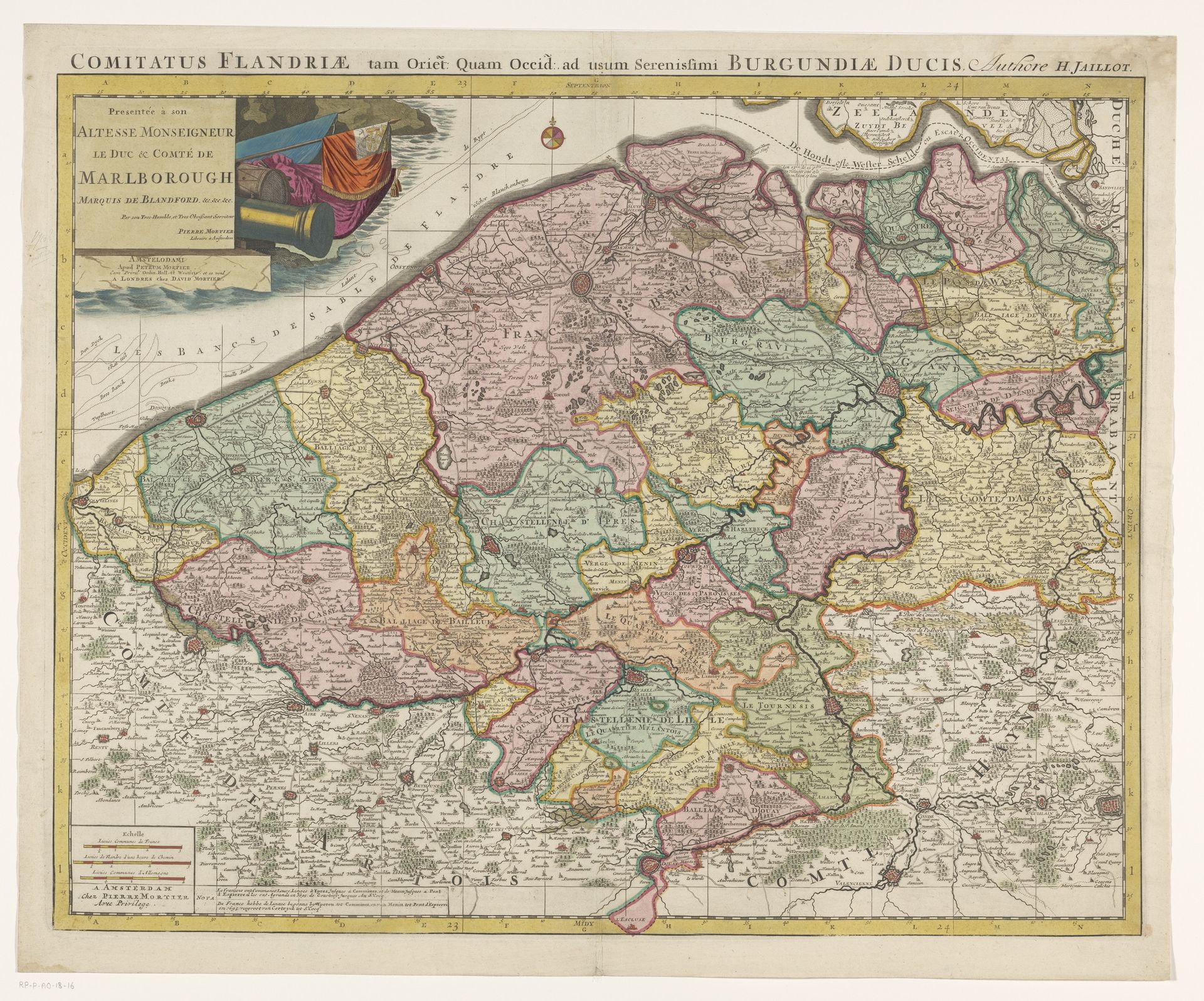
Kaart van het graafschap Vlaanderen
Anonymous
@anonymousLocation
RijksmuseumListen to curator's interpretation
Curatorial notes
This is a map of the County of Flanders, likely made in the 17th or 18th century by an anonymous maker. It's an engraving, printed on paper and then carefully colored by hand. Maps like this were complex feats of production. First, the image was incised into a copper plate. This required not only artistic skill, but also precise technical knowledge. The plate was then inked and used to print multiple copies, each of which would have been individually hand-colored, a labor-intensive process. The map’s function was as much about power as practical navigation. It presents Flanders as a carefully ordered territory, knowable and controllable. The act of mapping itself was a way of claiming ownership, a means of shaping perceptions and asserting authority. Considering the material and the making of this map reminds us that even seemingly straightforward images are the result of skilled work, and that they participate in a broader political and economic landscape. It challenges us to see beyond the image itself, to appreciate the layers of meaning embedded in its production.