1677 - 1720
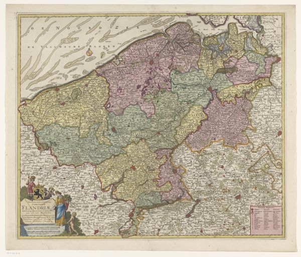
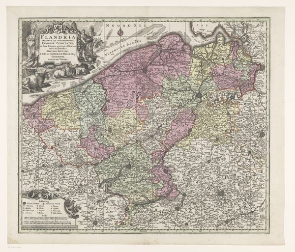
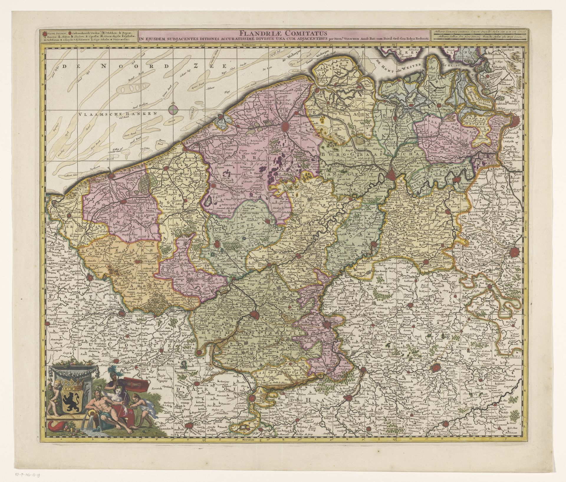
Kaart van het graafschap Vlaanderen
Gilliam van der Gouwen
1740Location
RijksmuseumListen to curator's interpretation
Curatorial notes
Curator: This is "Kaart van het graafschap Vlaanderen," or "Map of the County of Flanders," an engraved print created between 1677 and 1720 by Gilliam van der Gouwen. Editor: My first thought is how remarkably intricate and balanced it is. The color palette, while muted, distinguishes the territories effectively, and the elaborate cartouche in the lower left provides a grounding counterpoint to the airy depiction of the sea up top. Curator: Precisely. The composition, employing a strong linear structure softened by baroque detailing, functions beyond mere cartography. It presents Flanders as a territory carefully ordered and managed. Note the elaborate allegorical figures beside the crest, symbols of governance and prosperity. Editor: Indeed. Viewing it through a historical lens, one can almost trace the contours of political power in the region. The variations in color likely indicate differing allegiances or administrative regions. Curator: I am more intrigued by how the various textual elements are integrated, framing and segmenting the mapped territory, creating rhythm in what could easily have been a disorienting amount of information. Semiotically, each inclusion is deliberate. Editor: Don't overlook the placement of this map. During that period, Flanders was a contested area, coveted by larger European powers. Disseminating and owning a detailed visual of it would serve both political and military purposes. This map wasn't just descriptive; it was performative. Curator: Consider also the act of engraving itself – the precision, the incisiveness, all serving to translate geographic reality into codified visual language. Editor: In many ways it is not too dissimilar to how modern media attempts to make sense of our current global affairs. From a historical vantage, these early maps functioned much the same way. Curator: Yes, it shows how, regardless of medium, the attempt to capture and translate tangible space involves not merely documenting its physical form, but also the projection of the culture and order that inhabits it. Editor: Looking at the overall detail and context here, I believe you've hit on an underlying truth—a visual summary not just of geography, but an essay on its role in that historical period.