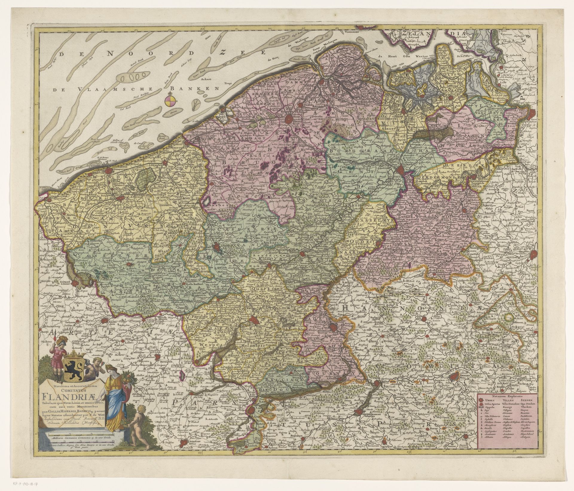
c. 1707 - 1710
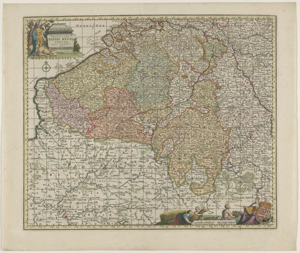
Kaart van het graafschap Vlaanderen
Anonymous
@anonymousLocation
RijksmuseumListen to curator's interpretation
Curatorial notes
This is an anonymous map of the County of Flanders, made using engraving. The map presents a detailed, color-coded depiction of Flanders, reflecting its political landscape. The visual codes used, such as distinct colors for different regions and symbols for cities, were essential for administrative and military purposes. These maps played a crucial role in establishing political power and shaping regional identity. They were often commissioned by wealthy patrons or governing bodies to solidify their control over territory. Maps like this one were not just functional documents, but cultural artifacts, reflecting the power structures and social conditions of the time. As historians, we delve into archives, scrutinize political records, and analyze the visual language of maps to understand their full social and institutional context. The meaning of art is contingent on its historical context.