print, etching, paper
# print
#
etching
#
etching
#
paper
Dimensions: height 470 mm, width 558 mm
Copyright: Rijks Museum: Open Domain
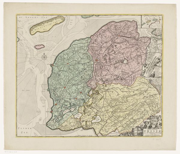
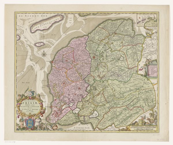
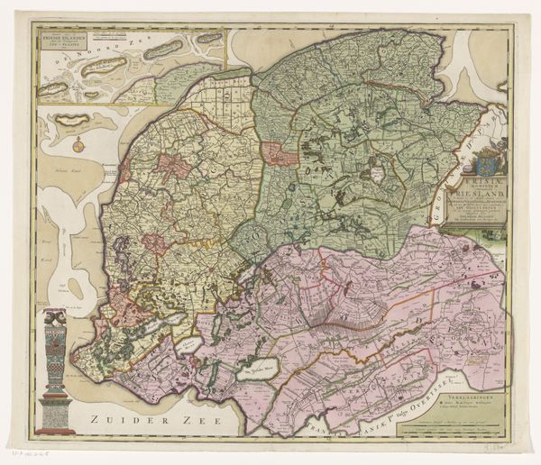
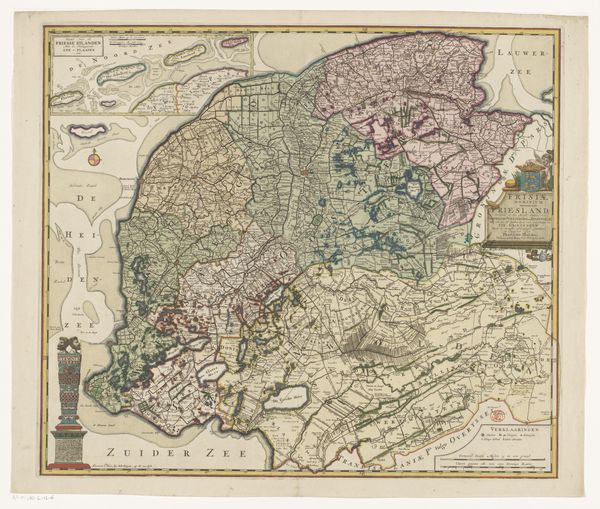
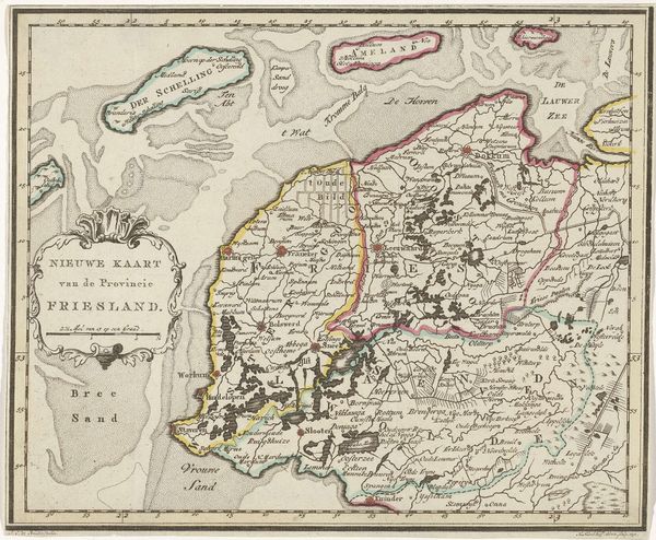
This is an undated map of Friesland, made by an anonymous artist. Maps, like this one, are never neutral; they reflect the power dynamics of their time. Think about how mapping shapes identity, determining who belongs and who is excluded. Friesland, with its unique cultural identity, has historically navigated its place within larger political entities. The map presents not just geographical data, but also a narrative of control and understanding of space. The detailed charting of land and sea suggests a desire to define and possess this region. Every border drawn, every name placed, carries an implication of ownership and influence. Consider how this map might have been used: to solidify claims, facilitate governance, or even inspire a sense of regional pride. Reflect on how we, as viewers, engage with this historical document. Does it invite a sense of connection to the past, or does it remind us of the constructed nature of our own perceptions of place and belonging?
Comments
No comments
Be the first to comment and join the conversation on the ultimate creative platform.
More like this