drawing, print, ink, engraving
#
drawing
# print
#
old engraving style
#
ink
#
geometric
#
cityscape
#
engraving
Dimensions: height 202 mm, width 270 mm
Copyright: Rijks Museum: Open Domain
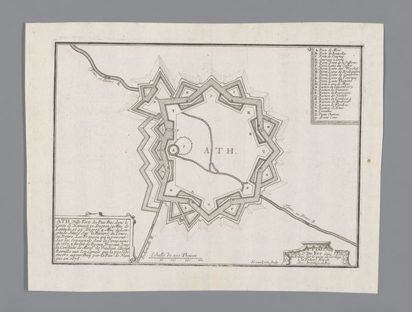
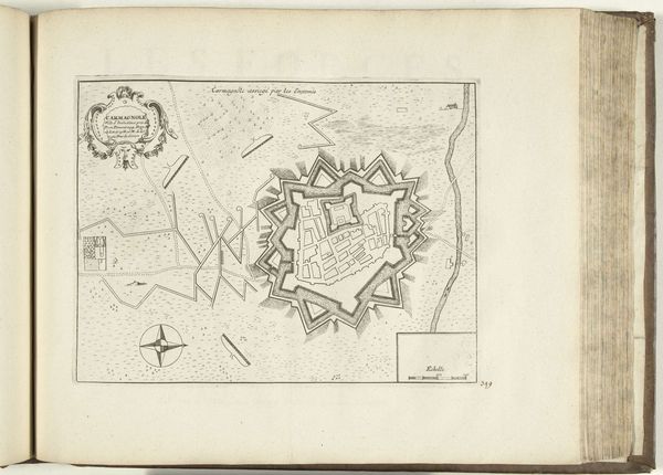
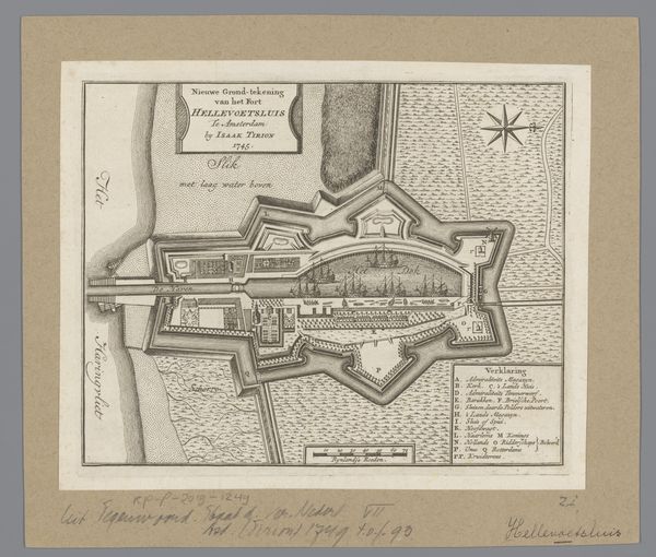
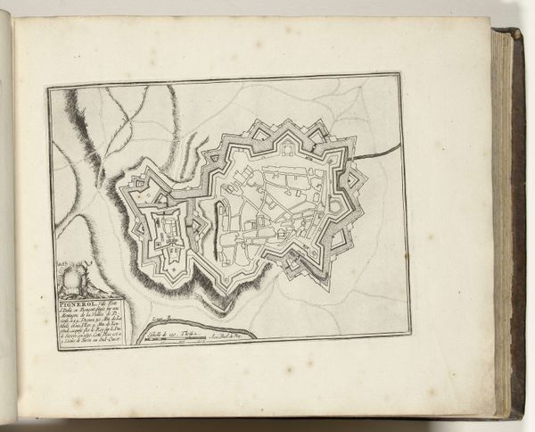
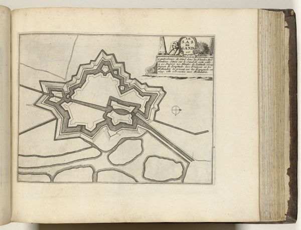
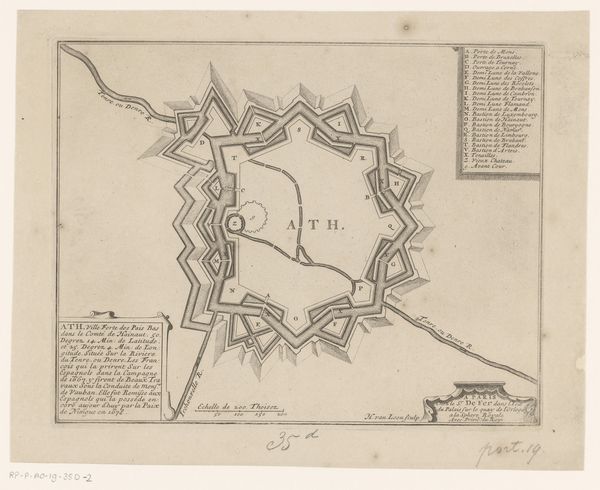
This is an anonymous plan of Sas van Gent, rendered with ink on paper. The plan, with its rhythmic interplay of lines and geometric forms, presents a compelling visual structure. Concentric, angular shapes delineate the fortifications, suggesting a deliberate, ordered approach to defense. The stark contrast between the intricate inner details and the relatively sparse outer areas creates a visual tension. The ordered lines speak to the Enlightenment’s impulse to rationalize and control space. Yet, the act of mapping itself engages with semiotics, translating geographical reality into a coded system of lines and symbols. This abstraction reflects a broader philosophical preoccupation with representation. Consider how the act of mapping involves a negotiation between empirical observation and symbolic encoding. The rigorous lines impose a sense of order onto the landscape, subtly influencing our perception. The map becomes a site where power, knowledge, and representation intersect.
Comments
No comments
Be the first to comment and join the conversation on the ultimate creative platform.
More like this