About this artwork
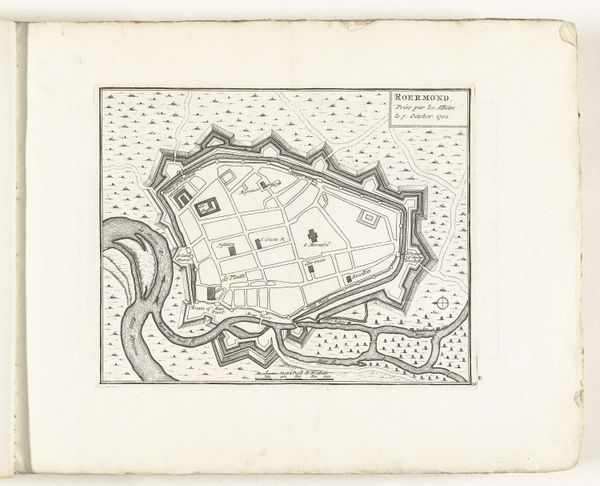
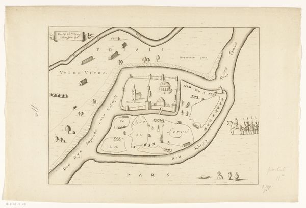
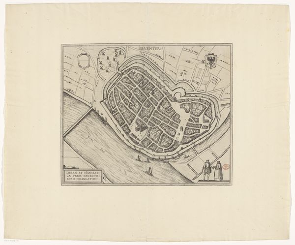
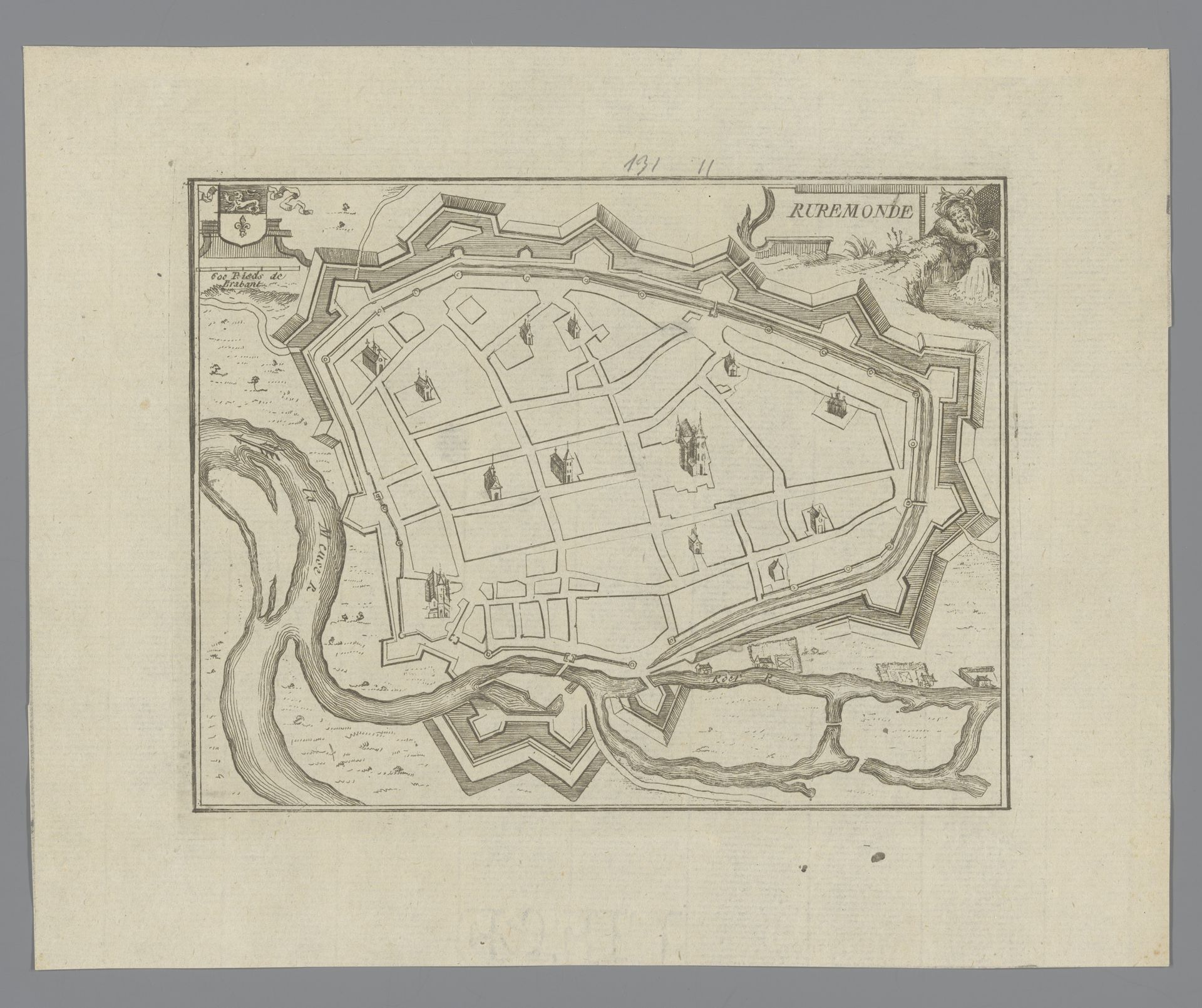
Jacobus Harrewijn created this detailed map of Roermond using etching techniques sometime between 1670 and 1730. Harrewijn, who lived through a period marked by significant wars and political shifts in the Netherlands, would have been keenly aware of the strategic importance of cities like Roermond. This map isn’t just a geographical document; it’s a lens through which we can examine power, control, and identity in a rapidly changing Europe. The fortifications surrounding the city speak volumes about the ever-present threats and the need for defense, reflecting the anxieties of the time. The precise layout suggests an attempt to impose order and control, both physically and socially. Harrewijn’s map invites us to consider how urban spaces are shaped by—and, in turn, shape—the lives of those within them. It's a reminder that even seemingly objective representations are imbued with cultural and political meanings.
Artwork details
- Medium
- drawing, print, engraving
- Dimensions
- height 155 mm, width 194 mm
- Location
- Rijksmuseum
- Copyright
- Rijks Museum: Open Domain
Tags
drawing
aged paper
homemade paper
old engraving style
sketch book
personal sketchbook
geometric
pen and pencil
line
sketchbook drawing
cityscape
storyboard and sketchbook work
sketchbook art
design on paper
engraving
Comments
No comments
About this artwork
Jacobus Harrewijn created this detailed map of Roermond using etching techniques sometime between 1670 and 1730. Harrewijn, who lived through a period marked by significant wars and political shifts in the Netherlands, would have been keenly aware of the strategic importance of cities like Roermond. This map isn’t just a geographical document; it’s a lens through which we can examine power, control, and identity in a rapidly changing Europe. The fortifications surrounding the city speak volumes about the ever-present threats and the need for defense, reflecting the anxieties of the time. The precise layout suggests an attempt to impose order and control, both physically and socially. Harrewijn’s map invites us to consider how urban spaces are shaped by—and, in turn, shape—the lives of those within them. It's a reminder that even seemingly objective representations are imbued with cultural and political meanings.
Comments
No comments