print, engraving
# print
#
landscape
#
engraving
#
realism
Dimensions: height 346 mm, width 433 mm
Copyright: Rijks Museum: Open Domain
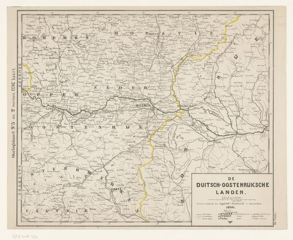
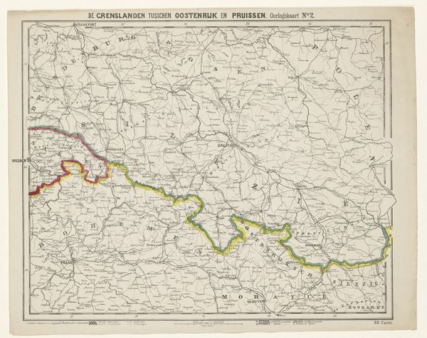
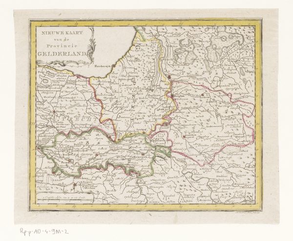
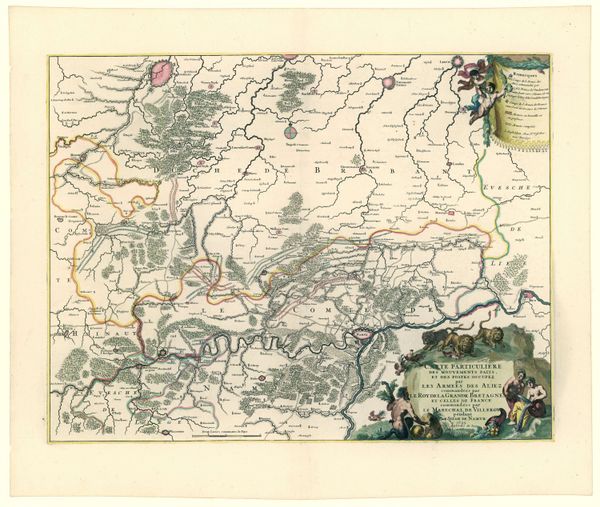
Here at the Rijksmuseum is a map of Southwest Germany made in 1866 by an anonymous cartographer. The eye is immediately drawn to its intricate linework, defining territories and routes, all under a pale grey sky. Notice how the composition emphasizes division and order. Borders are not just lines, but political statements, colored in blues and yellows to demarcate regions. The dense network of place names and pathways creates a complex visual texture, illustrating how space is not just geographical but also historical and political. Maps like this operate as semiotic systems. Each symbol – from the fonts used for city names to the thickness of boundary lines – signifies power, influence, and territorial claims. The stark contrast between the detailed land and highlighted borders emphasizes the human desire to impose structure on the natural world. This map challenges us to consider how even seemingly objective representations of space are laden with ideology and the drive to categorize the world. Consider how the deliberate ordering of space can be used to assert control, a formal quality that extends into broader discussions about knowledge and power. The meaning of this map continues to evolve, depending on who is looking and asking what questions.
Comments
No comments
Be the first to comment and join the conversation on the ultimate creative platform.
More like this