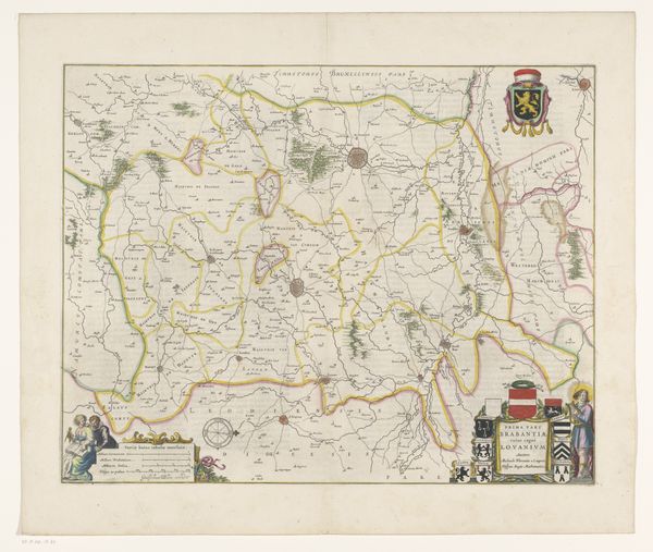
Kaart met de posities van de geallieerden en de Fransen bij het beleg van Namen, 1695 1695 - 1720
0:00
0:00
anonymous
Rijksmuseum
print, engraving
#
baroque
# print
#
landscape
#
cityscape
#
history-painting
#
engraving
Dimensions: height 540 mm, width 642 mm
Copyright: Rijks Museum: Open Domain
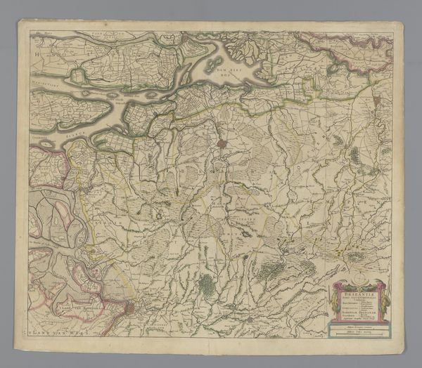
This anonymously created map depicts the siege of Namur in 1695. It's a visual representation of a pivotal moment in European power struggles, rendered with ink and color on paper. Made during a period of intense conflict between France and a coalition of European powers, the map provides insights into the military strategies and territorial ambitions of the time. Notice the detailed rendering of troop positions and fortifications. The map isn't just a geographical document; it's a political statement. The meticulous depiction of military maneuvers speaks to the importance of cartography in asserting dominance and shaping public opinion. To understand this map fully, we need to delve into the historical archives, studying military records, diplomatic correspondence, and period publications. Understanding the social and institutional context allows us to understand the meaning of art.
Comments
No comments
Be the first to comment and join the conversation on the ultimate creative platform.
More like this