drawing, print, etching, paper
#
drawing
#
dutch-golden-age
# print
#
etching
#
landscape
#
paper
#
cityscape
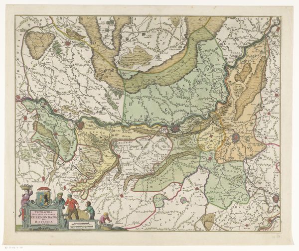
Dimensions: height 465 mm, width 555 mm
Copyright: Rijks Museum: Open Domain
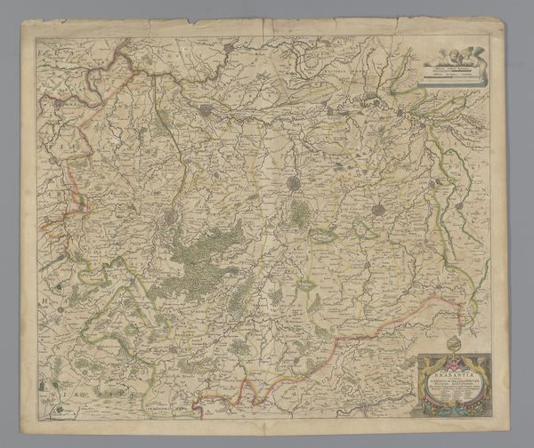
This is an anonymous map of the northwestern part of Brabant. Made using engraving, the lines incised into the plate, then printed with ink onto paper, the technique determined the map’s appearance. The process is precise, requiring expertise and care to create accurate, detailed representations of geographical space. The engraver would need skills with tools and an understanding of cartography. Historically, maps such as this played a crucial role in trade, navigation, and military strategy, and their production was closely tied to the economy and politics. Labor was also involved in the collection and compilation of the geographical data. The act of mapping had social implications, shaping perceptions of space and territory. By appreciating the material and the making, we can recognize how this map represents knowledge, skill, and the relationship between humans and their environment.
Comments
No comments
Be the first to comment and join the conversation on the ultimate creative platform.
More like this