1866
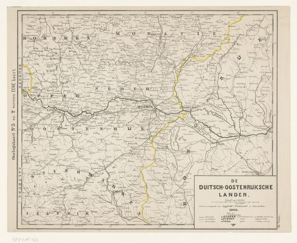
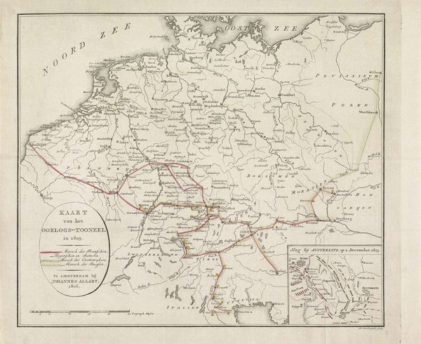
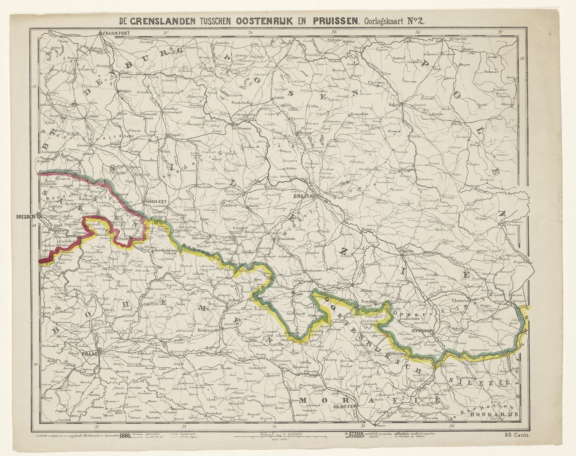
Kaart van het grensgebied van Oostenrijk en Pruisen
Anonymous
@anonymousLocation
RijksmuseumListen to curator's interpretation
Curatorial notes
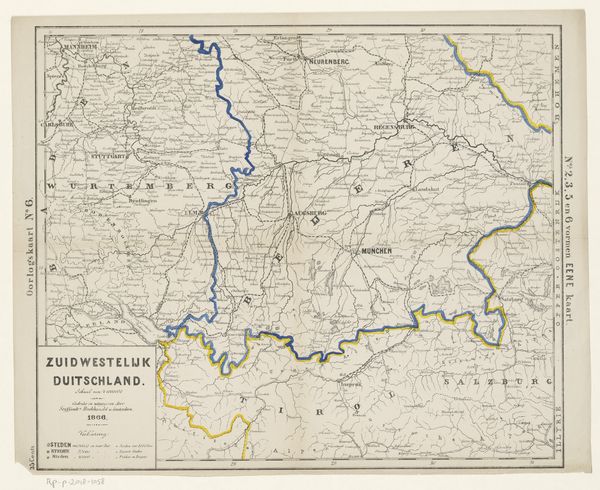
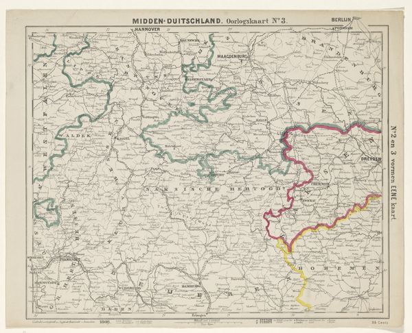
This map of the border region between Austria and Prussia, of indeterminate date, is a printed image on paper. The process of printing, likely lithography, allowed for detailed topographical information to be widely disseminated, at a relatively low cost, which speaks to the industrialized nature of cartography at the time. The use of color to demarcate the boundaries between territories underscores the political importance of this object. The paper itself, humble as it may seem, would have been produced in large quantities, feeding into the growing demand for printed materials in an age of expanding literacy and bureaucratic administration. The very existence of this map speaks to the intense surveying, documentation, and administrative labor necessary for nation-states to define and control their territories. As such, this ostensibly simple artifact embodies a complex intersection of industrial production, information management, and geopolitical power. It challenges our traditional understandings of fine art, which often overlooks the significance of everyday objects.