graphic-art, lithograph, print
graphic-art
lithograph
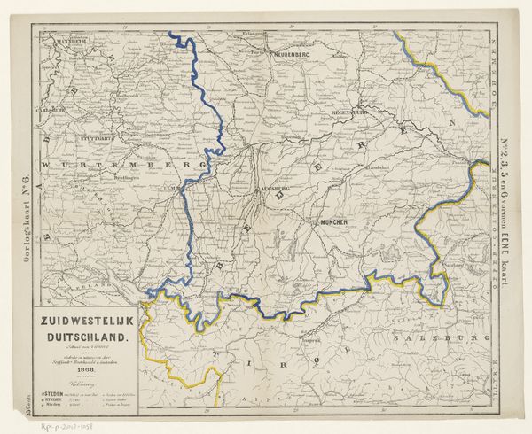
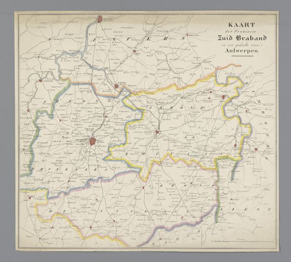
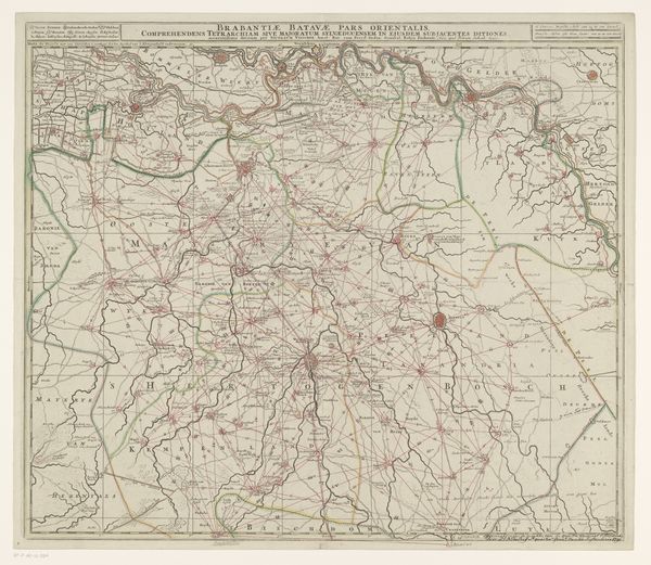
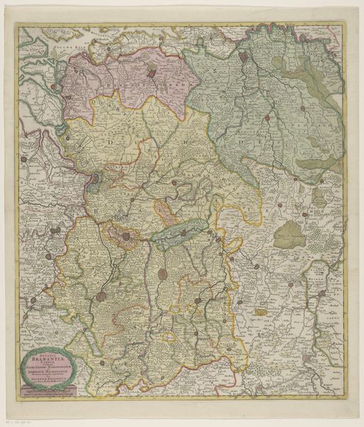
Dimensions: height 346 mm, width 432 mm
Copyright: Rijks Museum: Open Domain
This war map of Central Germany was created by an anonymous cartographer, and is now held at the Rijksmuseum. As a document, it presents the landscape as a resource ripe for geopolitical maneuvering and military strategy. This map isn’t simply about geographical locations, it’s a stark reminder of how territories are shaped by power, conflict, and human ambition. What does it mean to survey land from above, deciding which parts to control or divide? In many ways, this map echoes the painful legacy of colonialism, reflecting who has the authority to define and control spaces, and whose stories are erased in the process. Consider what it feels like to see your homeland dissected and labeled in service of war. Maps like these remind us that the personal and emotional are deeply entwined with the political, challenging us to reflect on the weight of history and the importance of perspective.
Comments
No comments
Be the first to comment and join the conversation on the ultimate creative platform.