Dimensions: height 344 mm, width 430 mm
Copyright: Rijks Museum: Open Domain
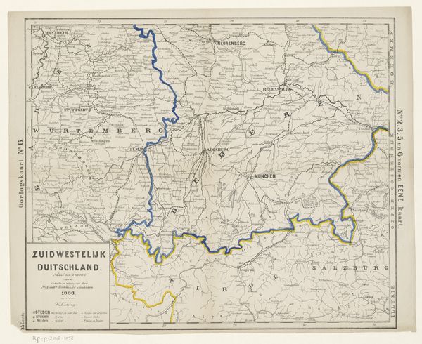
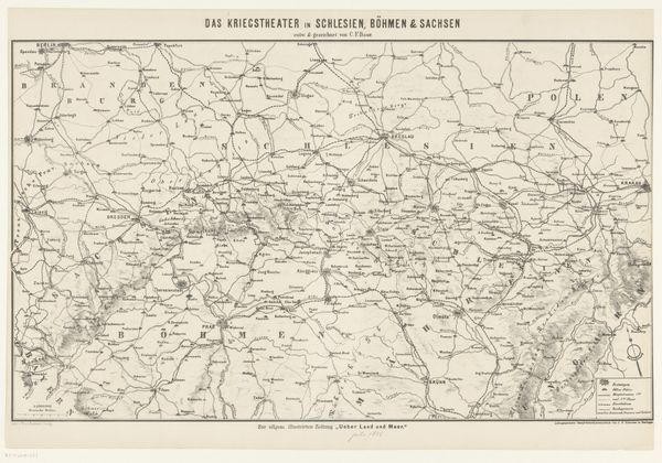
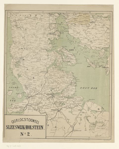
This anonymous map of part of Austria-Hungary was made in 1866. Cartography in the mid-19th century wasn't just about geographical accuracy; it was deeply entwined with political power and nation-building. Here, the emphasis on "DE DUITSCH-OOSTENRIJKSCHE LANDEN" or "The German-Austrian Lands" reveals an attempt to assert a particular cultural and political identity. Made in Amsterdam, the map reflects how the Austro-Prussian War, which took place in 1866, ignited debates about national borders and allegiances across Europe. Studying historical maps like this one can help us understand the social and political forces that shaped the European landscape. Examining the map in the context of Dutch cartography, Austrian history, and the rise of nationalism in Europe gives us a richer, more nuanced understanding of its meaning and purpose.
Comments
No comments
Be the first to comment and join the conversation on the ultimate creative platform.
More like this