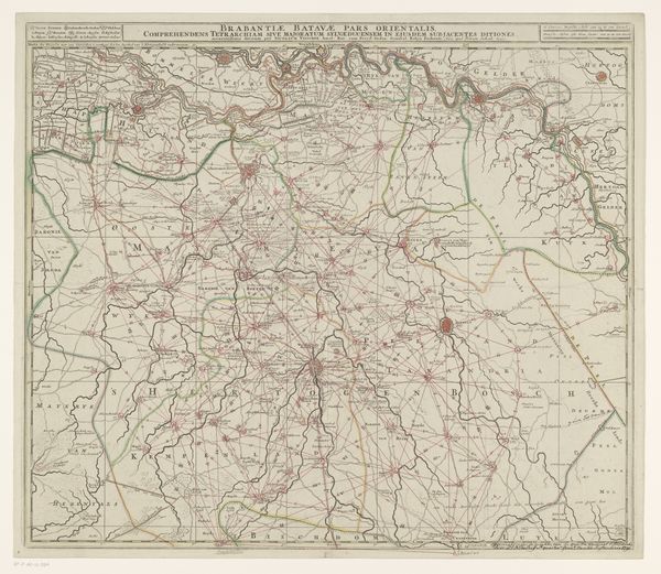
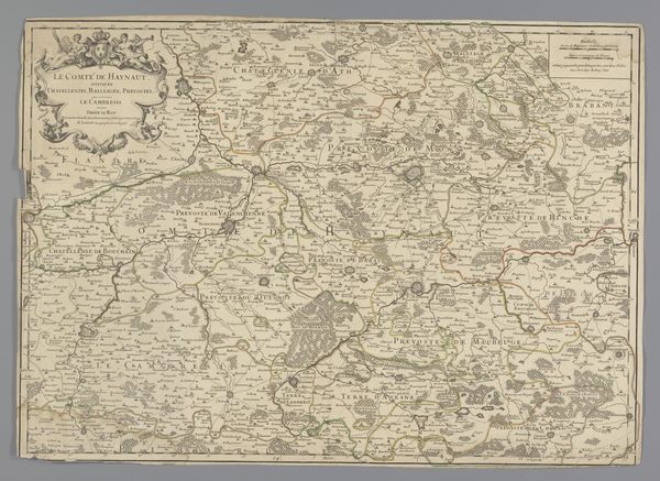
graphic-art, print, engraving
#
graphic-art
#
baroque
# print
#
engraving
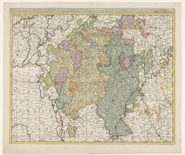
Dimensions: height 501 mm, width 602 mm
Copyright: Rijks Museum: Open Domain
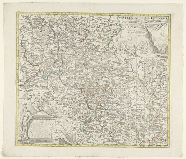
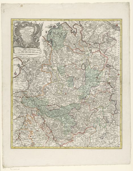
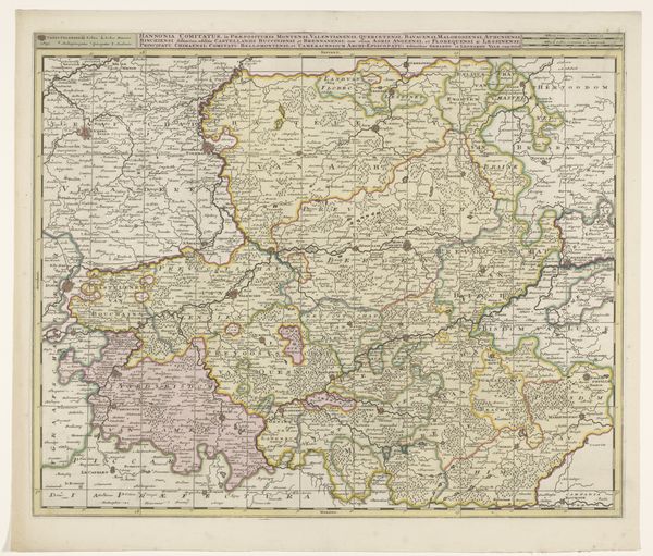
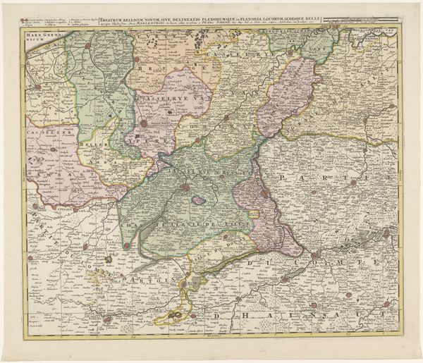
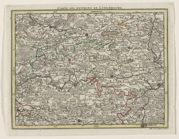
This is an anonymous map of Luxembourg, made with etching, sometime in the early modern period. Cartography became a powerful tool in the early modern period. As European states consolidated power and expanded their reach, maps were not just navigational aids but instruments of governance and control. This map, with its meticulous detail, reflects an ambition to survey and manage territory. Consider the social conditions that made this map possible. The rise of print culture allowed for the wide dissemination of geographical knowledge. Institutions such as universities and royal courts funded expeditions and mapping projects, while advances in mathematics and astronomy enabled more accurate surveying techniques. Historical atlases and archival documents can reveal much about the political context in which this map was produced, and illuminate the complex interplay between knowledge, power, and territory in the early modern world.
Comments
No comments
Be the first to comment and join the conversation on the ultimate creative platform.
More like this