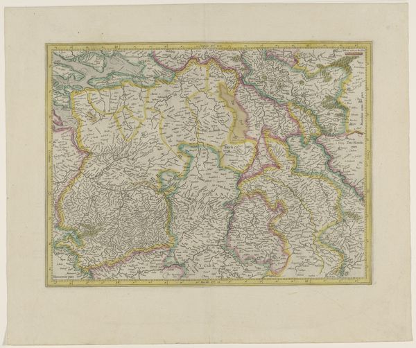
painting, watercolor
#
dutch-golden-age
#
painting
#
landscape
#
watercolor
#
watercolor
Dimensions: height 426 mm, width 540 mm
Copyright: Rijks Museum: Open Domain
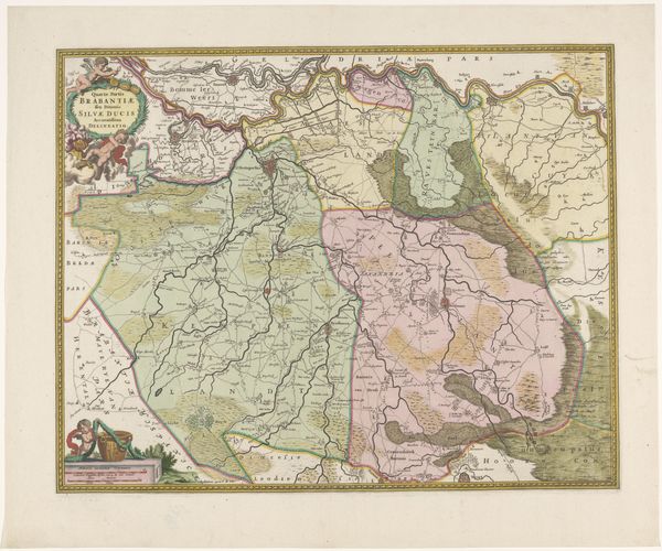
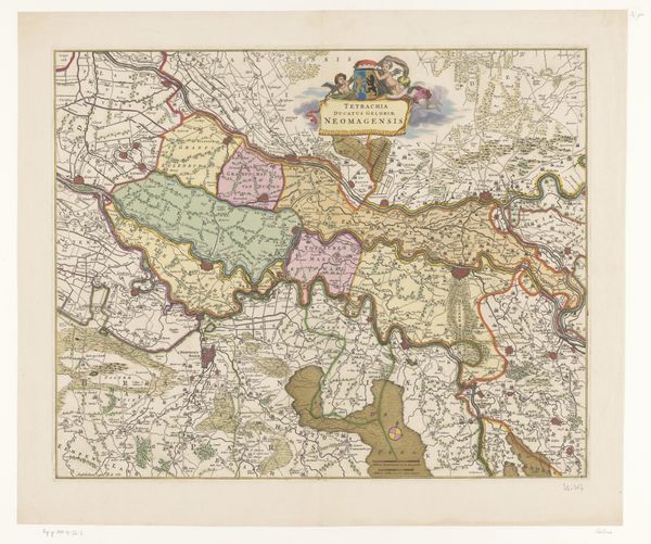
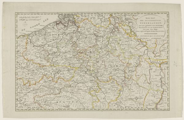
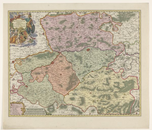
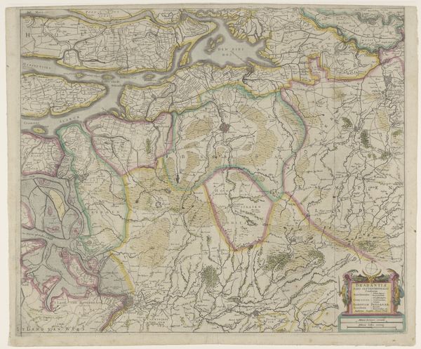
This is an anonymous map of the Meierij van 's-Hertogenbosch, made with ink and paint on paper. The map’s appearance is greatly influenced by the materials from which it was made. Note the smooth texture of the paper, which allows for fine lines and intricate details. The ink provides a sharp contrast, defining the region’s boundaries and features with precision, each stroke carefully applied. The addition of paint brings depth, delineating different territories and highlighting key landmarks. The production of such a map involved specialized skills and knowledge. The cartographer meticulously surveyed the landscape, translating geographical data onto paper. The choice of materials and techniques reflects the period’s aesthetics and the importance placed on accuracy and artistry. This map transcends mere functionality; it represents a fusion of craft and fine art. Ultimately, the map underscores the intrinsic link between materials, making, and context.
Comments
No comments
Be the first to comment and join the conversation on the ultimate creative platform.

