print, engraving
#
aged paper
#
baroque
# print
#
pen sketch
#
old engraving style
#
sketch book
#
personal sketchbook
#
pen-ink sketch
#
pen and pencil
#
pen work
#
sketchbook drawing
#
genre-painting
#
sketchbook art
#
engraving
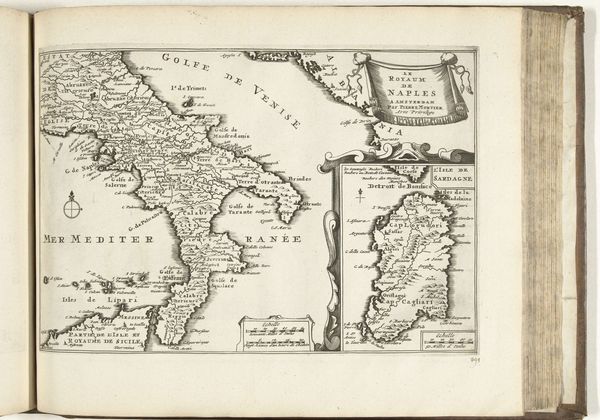
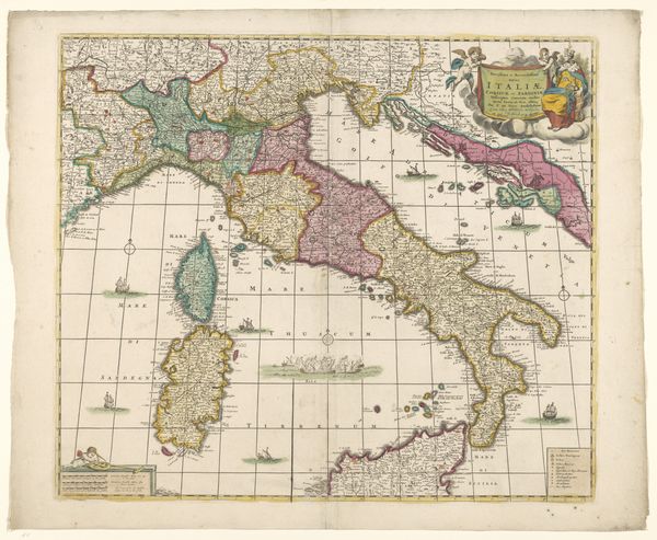
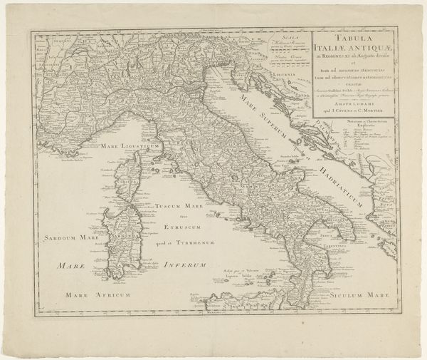
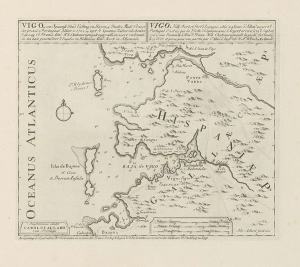
Dimensions: height 232 mm, width 301 mm
Copyright: Rijks Museum: Open Domain
This is an anonymous map of Italy, dating back to 1726. The map presents Italy in a moment of complex political divisions, reflecting the shifting power dynamics of 18th-century Europe. What stories do maps tell us about identity and power? This rendering of Italy is more than just geographic; it’s a cultural artifact which embodies the cartographer’s perspective and the intended audience’s worldview. Think about what it meant to define and delineate territories during an age of exploration and empire-building. How were such images employed to consolidate control, affirm identities, and shape perceptions of both the familiar and the foreign? This map, like all maps, carries within it the weight of cultural and historical narratives. Consider the emotional experience of viewing this map. Does it evoke a sense of longing, curiosity, or perhaps even a critical awareness of the power structures that shaped its creation?
Comments
No comments
Be the first to comment and join the conversation on the ultimate creative platform.
More like this