drawing, print, paper, engraving
#
drawing
#
dutch-golden-age
# print
#
landscape
#
paper
#
cityscape
#
engraving
Dimensions: height 174 mm, width 214 mm
Copyright: Rijks Museum: Open Domain
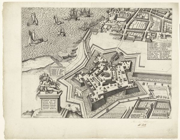
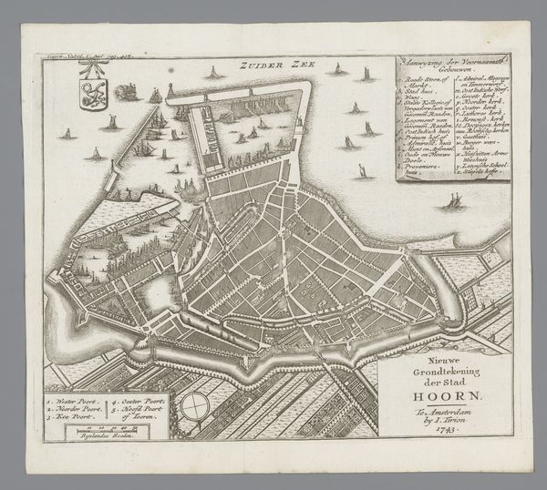
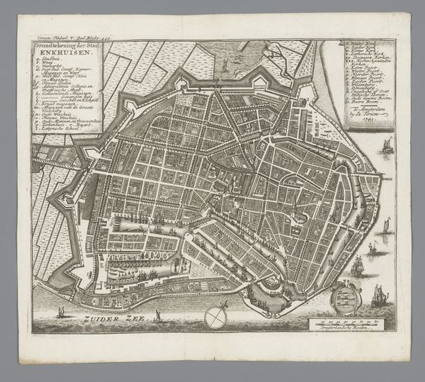
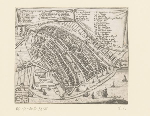
This is a map of Monnickendam, created in 1743 by an anonymous artist and printed in Amsterdam. The ‘Plattegrond van Monnickendam’ shows a bird’s eye view of the city, a visual trope that reflects the growing importance of cartography and urban planning in the 18th century. Maps such as these served both practical and symbolic functions. On one hand, they aided in navigation and administration. On the other, they asserted the power and control of the Dutch Republic over its territories. Look at the precise rendering of streets, buildings, and fortifications. These details highlight the emphasis on order, rationality, and progress that characterized the Enlightenment era. This was a time in which thinkers believed that society could be improved through reason and scientific inquiry. The historian can use this map as a valuable resource for understanding the social, economic, and political dynamics of Monnickendam in the 18th century. Through careful examination, we can gain insights into the urban landscape and the values of the society that produced it.
Comments
No comments
Be the first to comment and join the conversation on the ultimate creative platform.
More like this