print, etching, engraving
# print
#
etching
#
etching
#
geometric
#
cityscape
#
engraving
Dimensions: height 111 mm, width 130 mm
Copyright: Rijks Museum: Open Domain
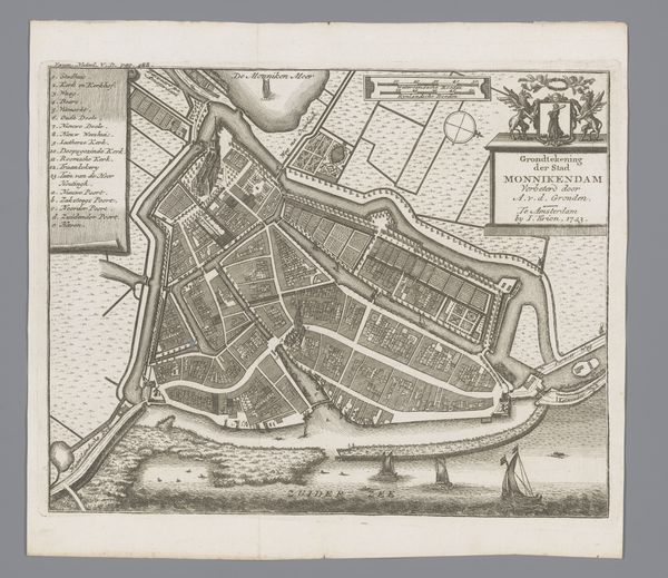
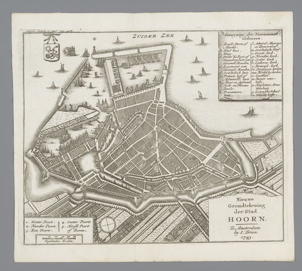
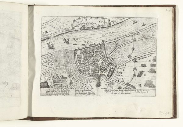
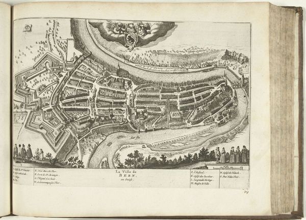
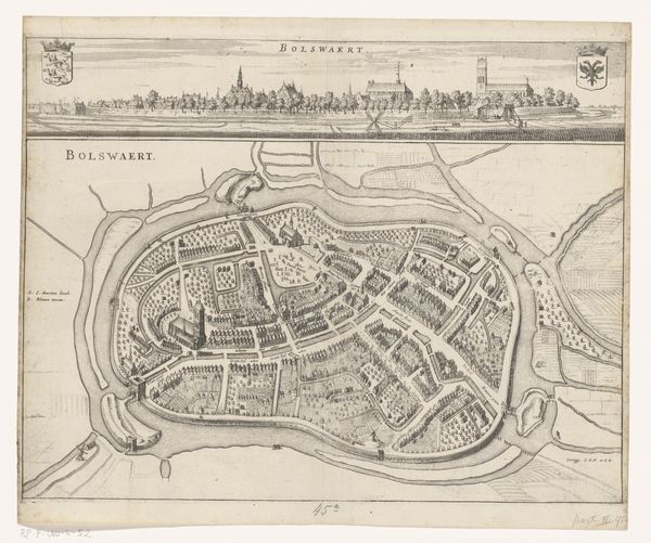
This is an anonymous map of Amsterdam, made in 1544. It offers us a glimpse into a city on the cusp of its Golden Age, when its canals were lifelines of trade and cultural exchange. What strikes me is how this map isn't just a factual depiction of streets and buildings; it's a social document, revealing the city’s religious and communal spaces. Note the detailed rendering of churches and cloisters, alongside the areas designated for different trades and social groups. This speaks to the intricate social mosaic of 16th-century Amsterdam, where identity was often tied to one's profession and religious affiliation. But what this map doesn't show is equally important. Where are the voices and experiences of the marginalized? How did the growth of Amsterdam impact those who were not part of its merchant class? It encourages us to consider the stories that often remain invisible in historical narratives. Ultimately, this map is more than just a guide to a past city. It is an invitation to reflect on the complexities of identity, power, and representation in shaping our understanding of history.
Comments
No comments
Be the first to comment and join the conversation on the ultimate creative platform.
More like this