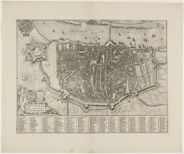
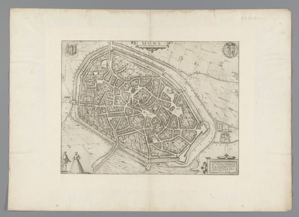
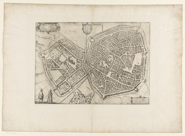
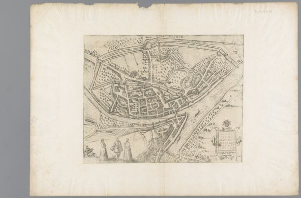
print, paper, engraving
#
baroque
# print
#
paper
#
architecture drawing
#
cityscape
#
engraving
Dimensions: height 175 mm, width 216 mm
Copyright: Rijks Museum: Open Domain
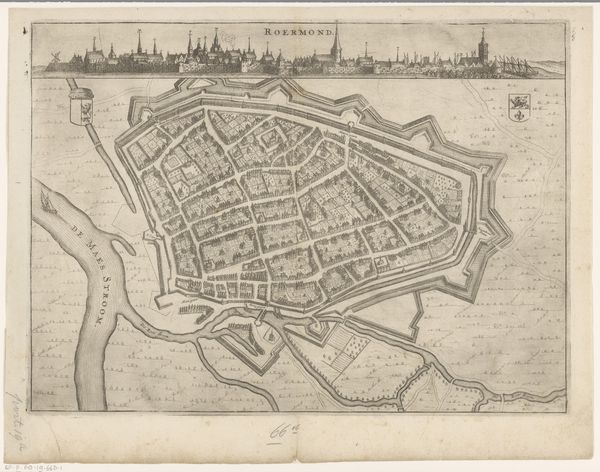
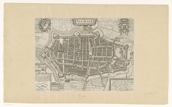
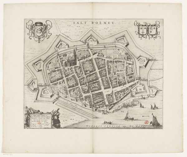
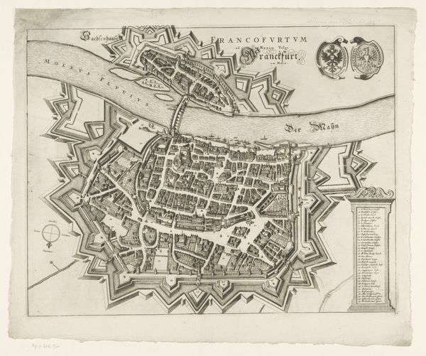
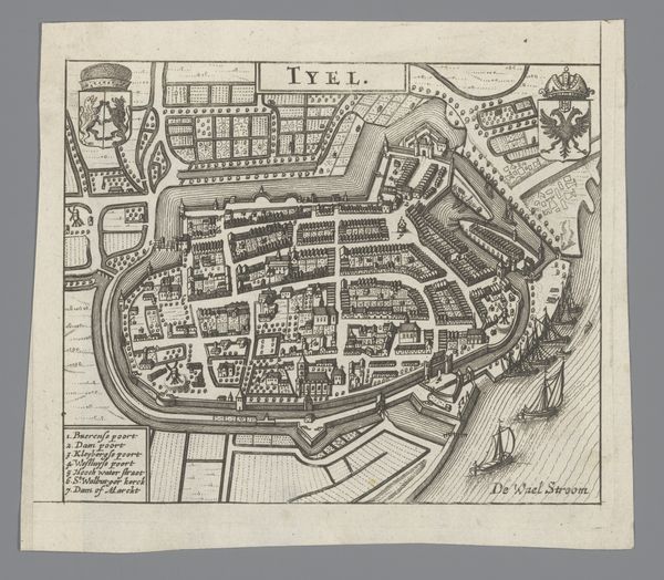
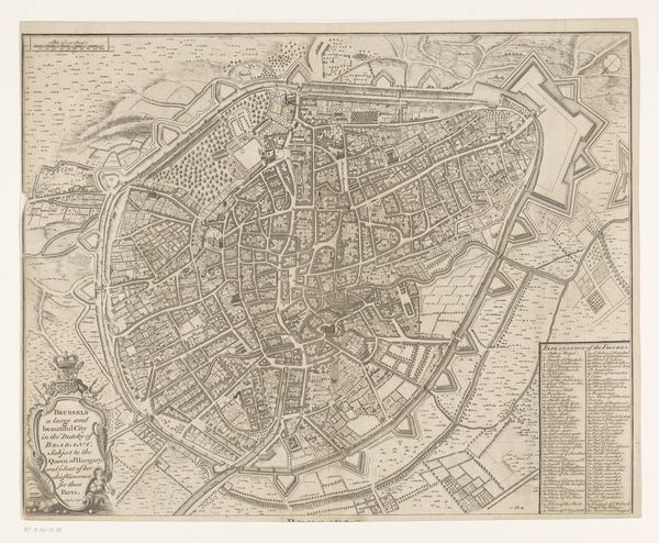
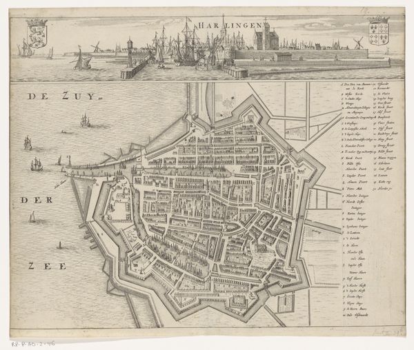
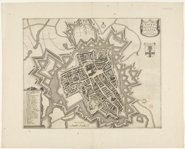
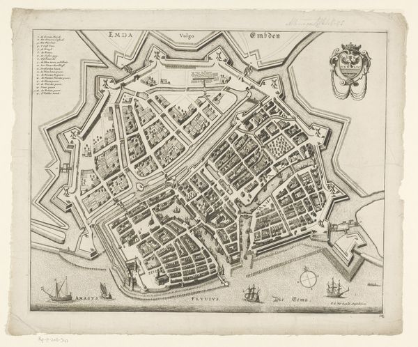
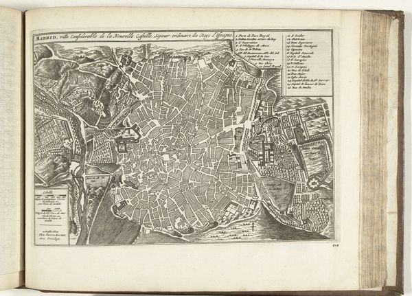
Here is an anonymous map of Enkhuizen, made in Amsterdam around 1741 using etching. This detailed rendering offers a glimpse into the intricate social and political structures that shaped 18th-century Dutch society. Enkhuizen, a coastal city, was not just a place, but a hub of maritime trade and naval power during the Dutch Golden Age. The map reveals not only the city's layout, but also its identity as a fortified stronghold, a symbol of its strategic importance in a world of mercantilism and colonial expansion. Consider how maps like these served as tools of power, reflecting a worldview where land and resources were charted, claimed, and controlled. The etching medium itself, with its precise lines and reproducible nature, speaks to an era of scientific advancement, but also of burgeoning capitalism and the commodification of knowledge. How does this representation of Enkhuizen invite us to reflect on the relationship between geography, power, and identity?
Comments
No comments
Be the first to comment and join the conversation on the ultimate creative platform.
 Collect
 React
React Comment
More like this